
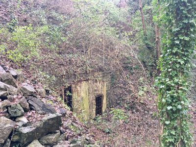
Lime Kiln adjacent to Castle Road, Grade II listed building in City and County of Swansea. Approximately 0.6km NW of Oystermouth church.
Location: Mumbles
Elevation above the sea: 29.2 m
GPS coordinates: 51.57664,-4.00474
Latest update: November 3, 2025 18:01
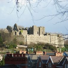
Oystermouth Castle
392 m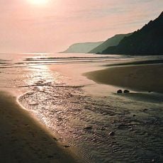
Caswell Bay
2.2 km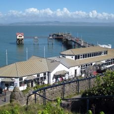
Mumbles Pier
1.9 km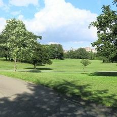
Singleton Park
4.4 km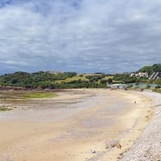
Langland Bay
1.2 km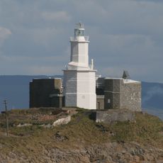
Mumbles Lighthouse
2.6 km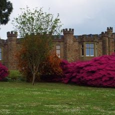
Clyne Castle
2.3 km
Rotherslade
1.2 km
Singleton Abbey
4.2 km
Sketty Hall
4.2 km
All Saints' Church
588 m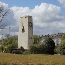
Swansea War Memorial
4.5 km
Mumbles Battery
2.6 km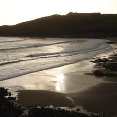
Langland Bay
1.3 km
Norton House Hotel
377 m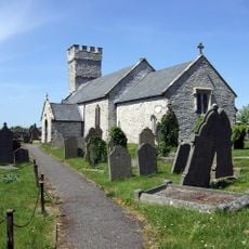
St Mary's Church
4.6 km
Tabernacle United Reformed Church
258 m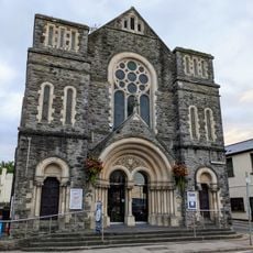
Mumbles Methodist Church
472 m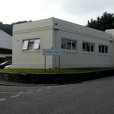
Oystermouth Library
456 m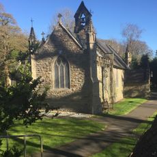
Clyne Chapel
2.2 km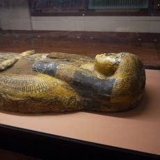
Egypt Centre
4.1 km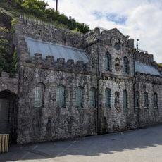
Public Conveniences at landward end of Mumbles Pier
2.1 km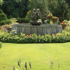
Fountain In Botanical Gardens, Singleton Park, Gower Road
4.5 km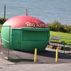
The Big Apple Kiosk
2 km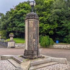
Lamp to Centre of Entrance Forecourt at Singleton Abbey, Mumbles Road
4.3 km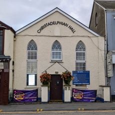
Christadelphian Hall
463 m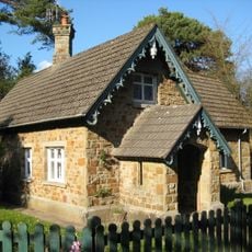
Clyne Lodge
2.2 km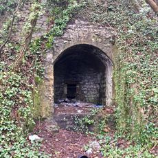
Lime Kiln adjacent to Lime Kiln Road
33 mReviews
Visited this place? Tap the stars to rate it and share your experience / photos with the community! Try now! You can cancel it anytime.
Discover hidden gems everywhere you go!
From secret cafés to breathtaking viewpoints, skip the crowded tourist spots and find places that match your style. Our app makes it easy with voice search, smart filtering, route optimization, and insider tips from travelers worldwide. Download now for the complete mobile experience.

A unique approach to discovering new places❞
— Le Figaro
All the places worth exploring❞
— France Info
A tailor-made excursion in just a few clicks❞
— 20 Minutes