
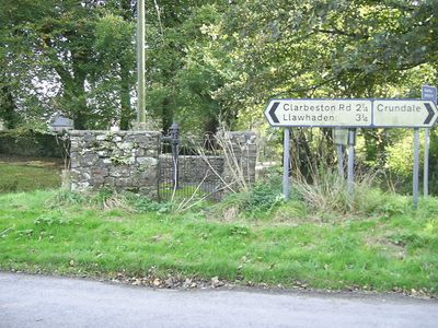
Village Pump at Wiston, Grade II listed building in Pembrokeshire. At the junction of minor roads in Wiston just NW of the Church of Saint Mary.
Location: Wiston
Elevation above the sea: 106.1 m
GPS coordinates: 51.82590,-4.87223
Latest update: March 3, 2025 21:05
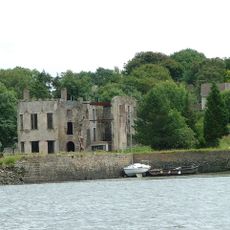
Big House, Landshipping
6.3 km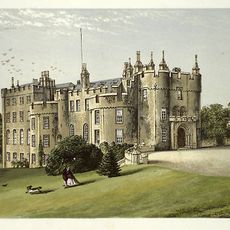
Picton Castle
4.7 km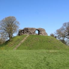
Wiston Castle
135 m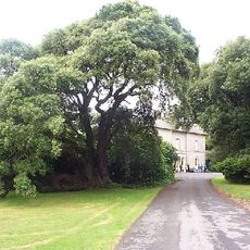
Scolton Manor
5.1 km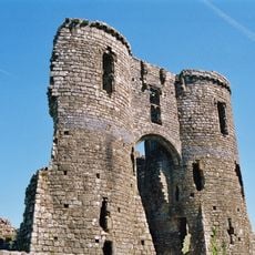
Llawhaden Castle
5.1 km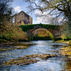
Blackpool Mill
5.2 km
Rudbaxton Rath
3.7 km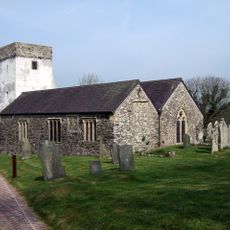
St Michael's Church
6.6 km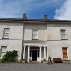
Scolton Manor
5.1 km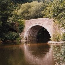
Llawhaden Bridge
5.4 km
Gelli Bridge
6.4 km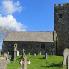
Robeston Wathen Church
6.7 km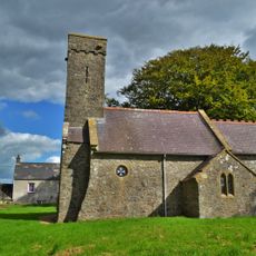
Church of St. Womar
5.3 km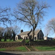
Church of Saint Mary
6.7 km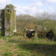
Newton North Church
6.5 km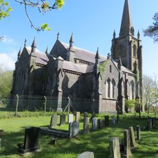
Church of St. John the Baptist
2.5 km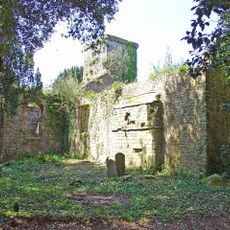
Old Church of St. John the Baptist
4.2 km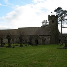
St Mary's Church
104 m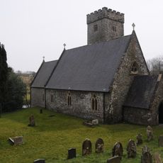
Church of St. Aidan
5.4 km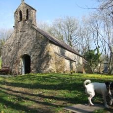
Church of Saint Meilyr
6.4 km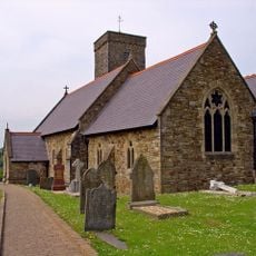
Church of Saint David
6.7 km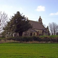
St Mary's Church, Walton East
5.3 km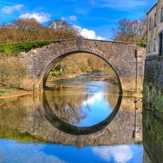
Blackpool Bridge
5.2 km
Scolton Manor Museum
5.1 km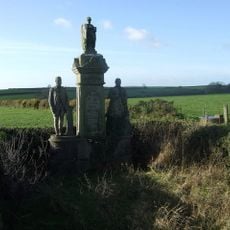
Llewellin Monument at Scollock West Farm
6.2 km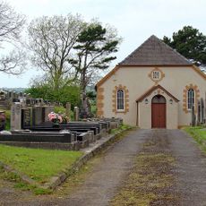
Wiston Chapel
1.2 km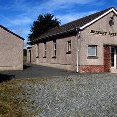
Bethany Free Church
2.9 km
Rudbaxton Rath
3.7 kmReviews
Visited this place? Tap the stars to rate it and share your experience / photos with the community! Try now! You can cancel it anytime.
Discover hidden gems everywhere you go!
From secret cafés to breathtaking viewpoints, skip the crowded tourist spots and find places that match your style. Our app makes it easy with voice search, smart filtering, route optimization, and insider tips from travelers worldwide. Download now for the complete mobile experience.

A unique approach to discovering new places❞
— Le Figaro
All the places worth exploring❞
— France Info
A tailor-made excursion in just a few clicks❞
— 20 Minutes