
Hassa, district and town in Hatay Province, Turkey
Location: Hatay Province
Elevation above the sea: 430 m
Shares border with: Kırıkhan, İskenderun, Payas, Dörtyol, İslahiye, Afrin
GPS coordinates: 36.79797,36.52127
Latest update: March 10, 2025 19:49
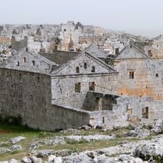
Dead Cities
59.2 km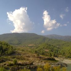
Nur Mountains
17.6 km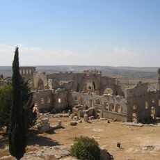
Church of Saint Simeon Stylites
59.2 km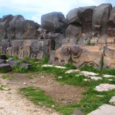
Ain Dara
47.9 km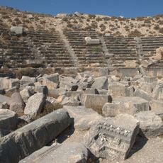
Cyrrhus
39.5 km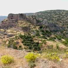
Bagras
49.1 km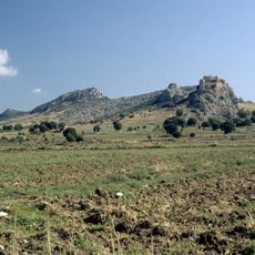
Castabala
51.6 km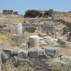
Epiphania, Cilicia
40.7 km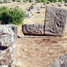
Yesemek Quarry and Sculpture Workshop
23.3 km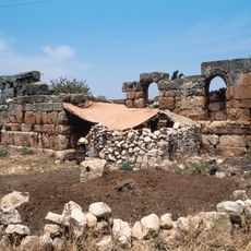
Basufan
60.2 km
Cathedral of the Annunciation, İskenderun
39.5 km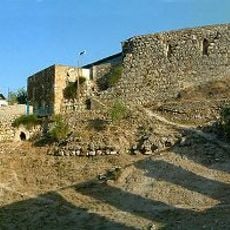
Trapessac
32.7 km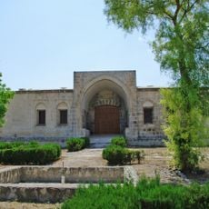
Kurtkulağı Kervansarayı
58.3 km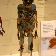
Dederiyeh Cave
54 km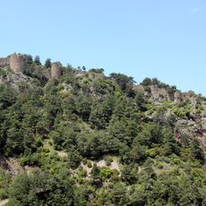
Servantikar
39.6 km
Sokollu Mehmet Pasha Caravanserai
28.7 km
Sitt er-Rum
60.9 km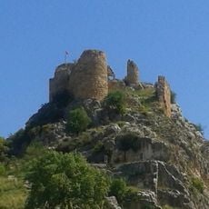
Bodrumkale
51.6 km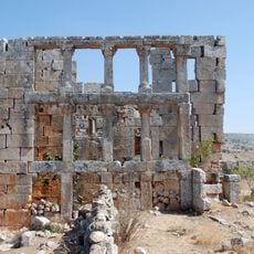
Deir Seman
58.8 km
Ancient village of Northern Syria
59.2 km
Kalota
61.9 km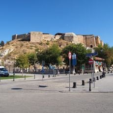
Ravendel
38.1 km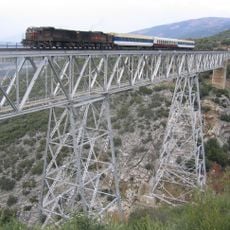
Haradara Bridge
14.5 km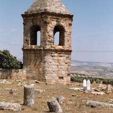
Hexagonal Mausoleum at Cyrrhus
39.1 km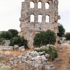
Takleh
60.8 km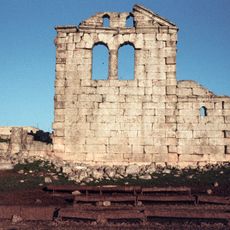
Gubelle
51.4 km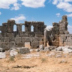
Deir Mishmish
51.4 km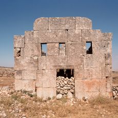
Burjke
62.5 kmReviews
Visited this place? Tap the stars to rate it and share your experience / photos with the community! Try now! You can cancel it anytime.
Discover hidden gems everywhere you go!
From secret cafés to breathtaking viewpoints, skip the crowded tourist spots and find places that match your style. Our app makes it easy with voice search, smart filtering, route optimization, and insider tips from travelers worldwide. Download now for the complete mobile experience.

A unique approach to discovering new places❞
— Le Figaro
All the places worth exploring❞
— France Info
A tailor-made excursion in just a few clicks❞
— 20 Minutes