
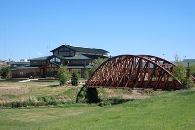
Gillette College Pedestrian Bridge

Fort Phil Kearny
109.1 km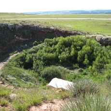
Vore Buffalo Jump
111.7 km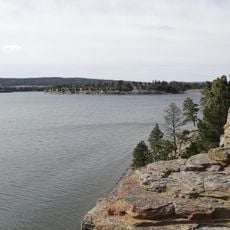
Keyhole State Park
59 km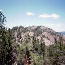
Inyan Kara Mountain
92.5 km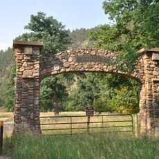
Ranch A
113.7 km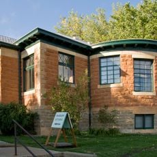
Jim Gatchell Memorial Museum
95.4 km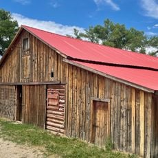
TA Ranch Historic District
93.5 km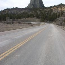
Wyoming Highway 110
72.7 km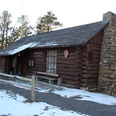
Old Headquarters Area Historic District
72.5 km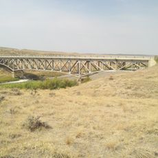
AJX Bridge over South Fork and Powder River
111.6 km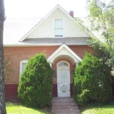
Holland House
95.4 km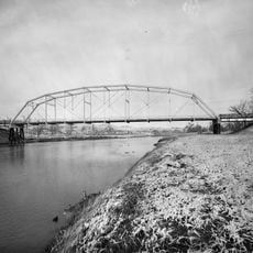
EDZ Irigary Bridge
62.9 km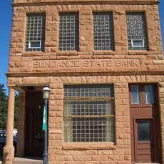
Sundance State Bank Building
91.2 km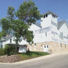
Union Congregational Church and Parsonage
95.1 km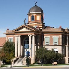
Weston County Courthouse
113.7 km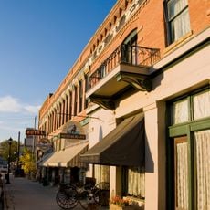
Main Street Historic District
95.3 km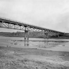
CKW Bridge over Powder River
68.2 km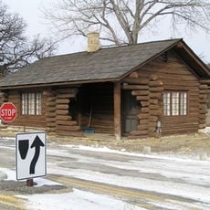
Entrance Station
73.8 km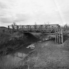
DXN Bridge
113.5 km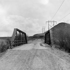
EDL Peloux Bridge
92 km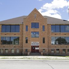
Sundance School
91.4 km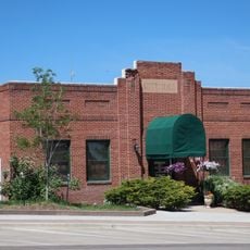
Gillette City Hall
21.7 km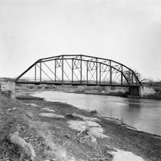
EAU Arvada Bridge
66.3 km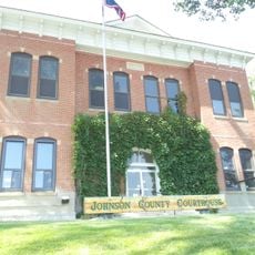
Johnson County Courthouse
95.4 km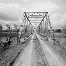
EBF Bridge over Powder River
81.6 km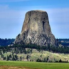
Devils Tower Information Marker
73.3 km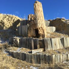
Dry Creek Petrified Tree Environmental Education Area
82.1 km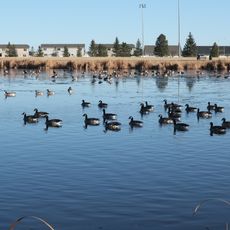
Gillette Fishing Lake
1.6 kmVisited this place? Tap the stars to rate it and share your experience / photos with the community! Try now! You can cancel it anytime.
Discover hidden gems everywhere you go!
From secret cafés to breathtaking viewpoints, skip the crowded tourist spots and find places that match your style. Our app makes it easy with voice search, smart filtering, route optimization, and insider tips from travelers worldwide. Download now for the complete mobile experience.

A unique approach to discovering new places❞
— Le Figaro
All the places worth exploring❞
— France Info
A tailor-made excursion in just a few clicks❞
— 20 Minutes