
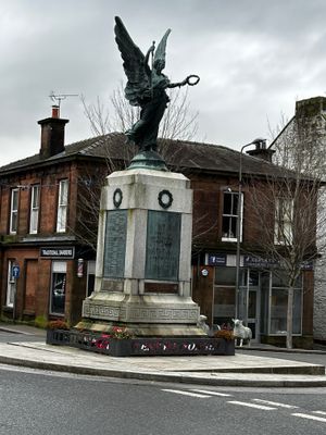
Lockerbie, High Street, War Memorial, war memorial in Dumfries and Galloway, Scotland, UK
Location: Dumfries and Galloway
GPS coordinates: 55.12190,-3.35531
Latest update: March 9, 2025 00:59
Lochmaben Castle
4.7 km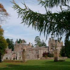
Hoddom Castle
8.9 km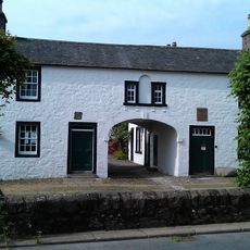
Thomas Carlyle's Birthplace
9.1 km
Lockerbie, High Street, Town Hall
44 m
All Saints Church, Lockerbie
322 m
Lochmaben, High Street, Town House
5.5 km
Kinnel Bridge
5.8 km
Jardine Hall
7.1 km
Spedlin's Tower
7 km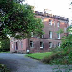
Rammerscales House
6.8 km
Shillahill Bridge
3.2 km
Lochmaben, High Street, Lochmaben Parish Church
5.3 km
Lockerbie, Dryfesdale Parish Church
207 m
Lockerbie, Arthur's Place, Holy Trinity R.c. Church
187 m
King's Arms Hotel, 29 High Street, Lockerbie
62 m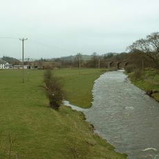
Sandbed, Railway Viaduct
2.5 km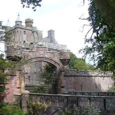
Hoddom Castle, Driveway Bridge
9 km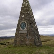
Almagill Hill, Monument To Joe Graham
7.5 km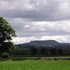
Burnswark Hill
5.8 km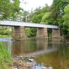
Williamwath Bridge
5.9 km
Lockerbie, 112 High Street, Bluebell Hotel
78 m
Royal Bank Of Scotland, 47-49 High Street, Lockerbie
24 m
110 High Street, Lockerbie
74 m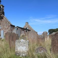
Dalton, Old Parish Church churchyard
8.1 km
Lockerbie, 81-83 High Street, Bank Of Scotland
106 m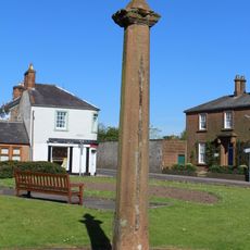
Lochmaben, Old Market Cross
5.7 km
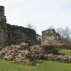
Moss Castle
7.4 km
Lockerbie, 10 High Street, Dryfesdale Parish Church Hall
186 mVisited this place? Tap the stars to rate it and share your experience / photos with the community! Try now! You can cancel it anytime.
Discover hidden gems everywhere you go!
From secret cafés to breathtaking viewpoints, skip the crowded tourist spots and find places that match your style. Our app makes it easy with voice search, smart filtering, route optimization, and insider tips from travelers worldwide. Download now for the complete mobile experience.

A unique approach to discovering new places❞
— Le Figaro
All the places worth exploring❞
— France Info
A tailor-made excursion in just a few clicks❞
— 20 Minutes