1-39, Clissold Road N16, building in Hackney, Greater London, UK
Location: London Borough of Hackney
GPS coordinates: 51.55794,-0.08467
Latest update: November 21, 2025 07:12
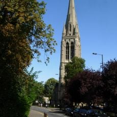
St Mary, Stoke Newington
323 m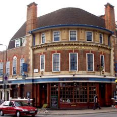
Rose and Crown
349 m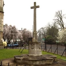
War memorial at the Church of St Mary
332 m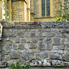
Forecourt Wall To Church And Rectory Of St Mary
346 m
112-118, Albion Road N16
222 m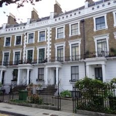
Park Crescent
266 m
108 and 110, Albion Road N16
237 m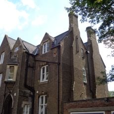
St Mary's Rectory
288 m
158 And 160, Albion Road N16
161 m
166 And 168, Albion Road N16
176 m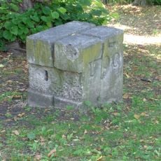
Stone Near East Gate Of Park
286 m
174 And 178, Albion Road N16
188 m
Forecourt Railings To Numbers 108 To 116 (Even)
277 m
66, Milton Grove N16
344 m
147 And 149, Albion Road N16
134 m
162, Albion Road N16
170 m
Park House
218 m
Garden Wall And Railings To Numbers 147 And 149 And Gate To Number 147
147 m
104-120, Shakespeare Walk N16
274 m
235, Stoke Newington Church Street N16
217 m
237, Stoke Newington Church Street N16
215 m
Number 243 (Including Number 241)
221 m
The Albion Public House
96 m
154 And 156, Albion Road N16
158 m
143 And 145, Albion Road N16
128 m
170 And 172, Albion Road N16
183 m
Aves
338 m
Mosaic, Work of art
163 mReviews
Visited this place? Tap the stars to rate it and share your experience / photos with the community! Try now! You can cancel it anytime.
Discover hidden gems everywhere you go!
From secret cafés to breathtaking viewpoints, skip the crowded tourist spots and find places that match your style. Our app makes it easy with voice search, smart filtering, route optimization, and insider tips from travelers worldwide. Download now for the complete mobile experience.

A unique approach to discovering new places❞
— Le Figaro
All the places worth exploring❞
— France Info
A tailor-made excursion in just a few clicks❞
— 20 Minutes