
Milestone By Westfield Farm, milestone in Latton, Wiltshire, UK
Location: Latton
Inception: 19 century
GPS coordinates: 51.66585,-1.88013
Latest update: March 2, 2025 20:13

North Meadow, Cricklade
2 km
Cricklade Town Bridge
3 km
Elmlea Meadows
1.6 km
Wildmoorway Meadows
2 km
Church of All Saints
1.5 km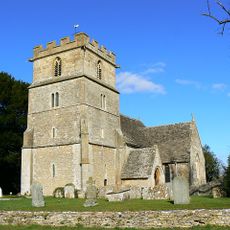
Church of St John The Baptist, Latton With Eisey
1.1 km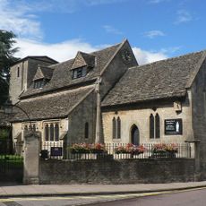
Church of St Mary
3 km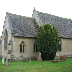
Church of Holy Trinity
835 m
Midland and South Western Junction Railway bridge
1.6 km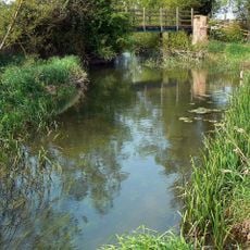
Aqueduct footings footbridge
1.6 km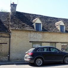
65, High Street
3 km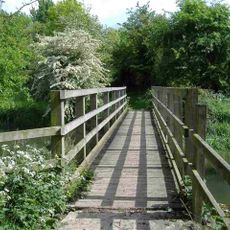
Stones Lane footbridge
1.9 km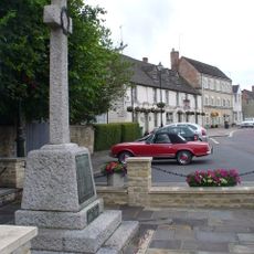
Cricklade War Memorial
3 km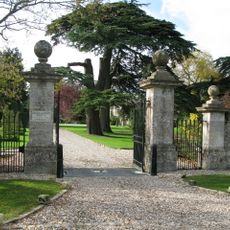
Down Ampney House
1.4 km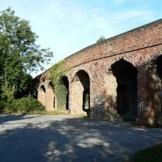
Former Road Bridge On Dismantled Railway
2 km
Milestone Outside Cotswold Gate
1.6 km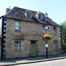
Number 68 And Orthostatic Wall To North
3 km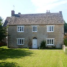
Street Farmhouse
927 m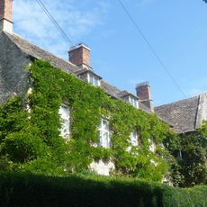
St Mary's
1.1 km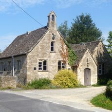
Village School
1.1 km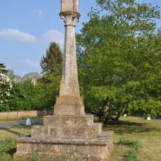
Village cross
1.5 km
66, High Street
3 km
Wharf Farmhouse
2.5 km
1 and 2, Rectory Lane
3 km
61 And 62, High Street
3 km
The Old Manor House
3 km
64, High Street
3 km
63, High Street
3 kmReviews
Visited this place? Tap the stars to rate it and share your experience / photos with the community! Try now! You can cancel it anytime.
Discover hidden gems everywhere you go!
From secret cafés to breathtaking viewpoints, skip the crowded tourist spots and find places that match your style. Our app makes it easy with voice search, smart filtering, route optimization, and insider tips from travelers worldwide. Download now for the complete mobile experience.

A unique approach to discovering new places❞
— Le Figaro
All the places worth exploring❞
— France Info
A tailor-made excursion in just a few clicks❞
— 20 Minutes