
Boundary Stone Circa 200 Metres East Of Horseshoe Wood
Boundary Stone Circa 200 Metres East Of Horseshoe Wood, boundary marker in Pittington, County Durham, UK
Location: Pittington
Part of: political border
GPS coordinates: 54.79130,-1.46410
Latest update: April 26, 2025 14:01
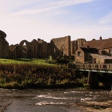
Finchale Priory
5.6 km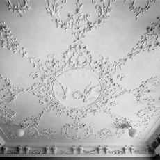
Elemore Hall
542 m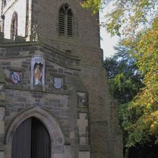
St Giles Church, Durham
6.3 km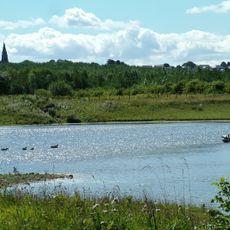
Rainton Meadows
4.2 km
Joe's Pond
4.8 km
St Michael and All Angels Church, Houghton-le-Spring
5.8 km
Cassop Vale
5.5 km
Pittington Hill
1.6 km
Church of St Mary
3.4 km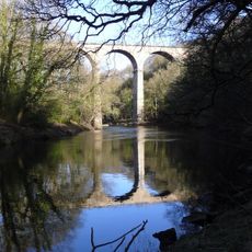
Belmont viaduct
4.8 km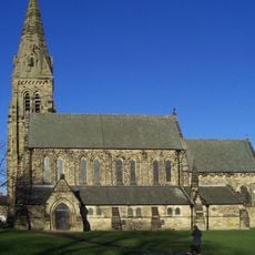
Church of St Mary
3.5 km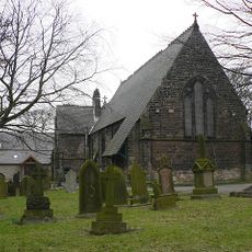
Church of St Mary Magdalene
4.2 km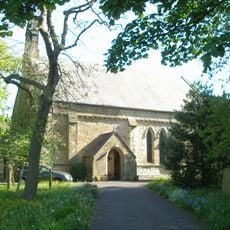
Church of St Cuthbert
2.8 km
Church of St Laurence
1.8 km
Sherburn Hospital Chapel
4.5 km
St Saviour's Church
5.7 km
Ludworth Tower
3.1 km
Ludworth War Memorial
3.3 km
Rex Cinema
5.4 km
Monument 13.8 Metres South Of Church Of St Michael
2.6 km
War Memorial, Village Green
5.1 km
Haswell War Memorial
3.1 km
Thornley War Memorial
5 km
Barn To North-West Of Old Durham Farmhouse
6.2 km
Hallgarth War Memorial
1.8 km
Guide Post In Front Of No 19
2 km
Finchale Bridge
5.8 km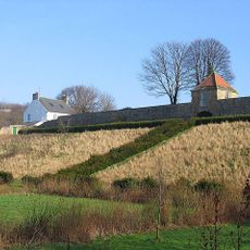
Retaining Wall And Gazebo On West Side Of Old Durham Farmhouse
6.2 kmReviews
Visited this place? Tap the stars to rate it and share your experience / photos with the community! Try now! You can cancel it anytime.
Discover hidden gems everywhere you go!
From secret cafés to breathtaking viewpoints, skip the crowded tourist spots and find places that match your style. Our app makes it easy with voice search, smart filtering, route optimization, and insider tips from travelers worldwide. Download now for the complete mobile experience.

A unique approach to discovering new places❞
— Le Figaro
All the places worth exploring❞
— France Info
A tailor-made excursion in just a few clicks❞
— 20 Minutes