
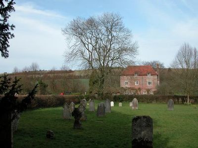
Manor Farmhouse and Boundary Wall, farmhouse in Colemore and Priors Dean, East Hampshire, Hampshire, UK
Location: Colemore and Priors Dean
GPS coordinates: 51.06181,-0.96204
Latest update: March 9, 2025 04:50
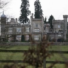
Rotherfield Park
4.3 km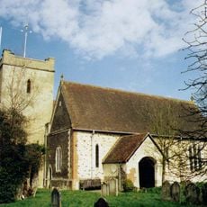
Church of St Mary
4.3 km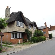
Plestor House
4.2 km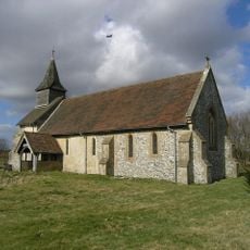
Church of St Peter ad Vincula, Colemore
2.5 km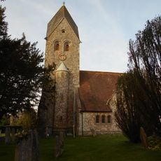
Church of St Peter and St Paul
1.8 km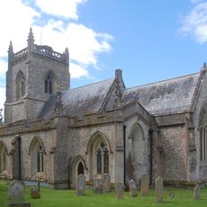
Church of St James
3.8 km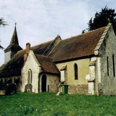
Church of the Holy Rood
2.9 km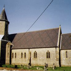
Church of St Peter
3.5 km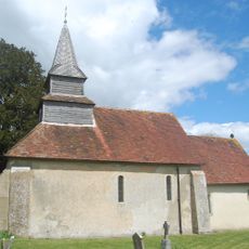
Priors Dean Church
95 m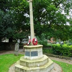
Selborne War Memorial
4.3 km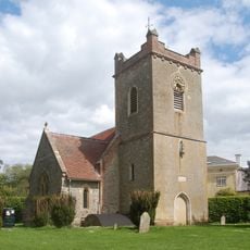
Church of St Mary
3.2 km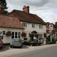
The Selborne Arms
4.1 km
Barn House
3.1 km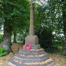
Newton Valence War Memorial
3.1 km
Trimmings
4.3 km
The Wakes
4.2 km
Wakes Cottages
4.2 km
Mabbotts Farmhouse
2.3 km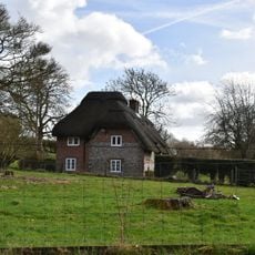
Basing Dene
3.5 km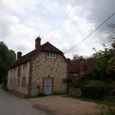
Fisher's Buildings Fisher's Corner Fisher's Cottage Fisher's Lodge
4.3 km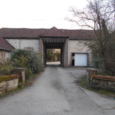
Gateway To Ashford Chase
3.5 km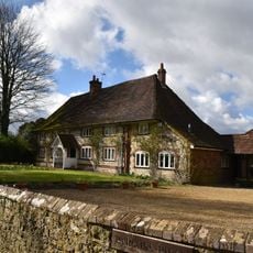
Parsons Piece
1.8 km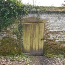
Kitchen Garden Wall Extending Eastwards From The Coach House
3.5 km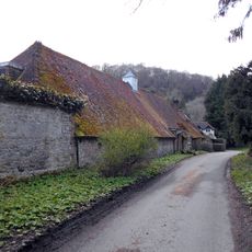
Coachhouse To Old Ashford Manor
3.5 km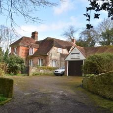
Hill Place
3.1 km
Front Lodge
3.8 km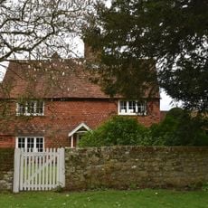
Yew Tree House
2.5 km
Milestone, opp. a row of houses
3.7 kmReviews
Visited this place? Tap the stars to rate it and share your experience / photos with the community! Try now! You can cancel it anytime.
Discover hidden gems everywhere you go!
From secret cafés to breathtaking viewpoints, skip the crowded tourist spots and find places that match your style. Our app makes it easy with voice search, smart filtering, route optimization, and insider tips from travelers worldwide. Download now for the complete mobile experience.

A unique approach to discovering new places❞
— Le Figaro
All the places worth exploring❞
— France Info
A tailor-made excursion in just a few clicks❞
— 20 Minutes