
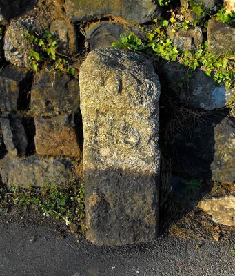
Boundary Stone 47M North-West Of The Fire Station
Boundary Stone 47M North-West Of The Fire Station, boundary marker in Penzance, Cornwall, UK
Location: Penzance
Part of: political border
GPS coordinates: 50.12331,-5.54632
Latest update: March 5, 2025 11:54
St John's Hall
667 m
Treneere Manor
465 m
First And Last Inn
697 m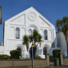
Baptist Church and Attached Schoolroom at Rear
687 m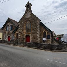
St Thomas
692 m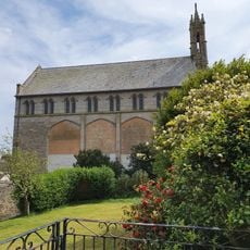
Roman Catholic Church of the Immaculate Conception of Our Lady
630 m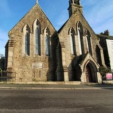
St Paul's Church, Penzance
585 m
Penzance Library
691 m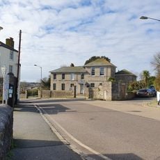
St Erbyn's School
544 m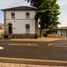
Buriton House
711 m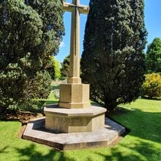
St Clare Cemetery Cross of Sacrifice, Penzance
238 m
York House
143 m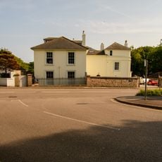
Alverton Manor
670 m
Alverne Hill
678 m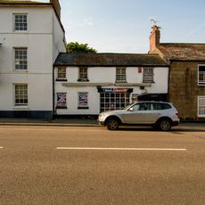
Alverton Terrace
648 m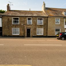
Alverton Terrace Trenarren
650 m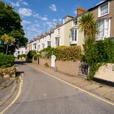
17-27, North Parade
744 m
Alverton Terrace
645 m
16-18, Alverton Road
722 m
West Lodge
668 m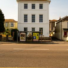
Trevear
657 m
1-4 Alverton Terrace
670 m
19 And 20, Alverton Road
716 m
14 And 15, Alverton Road
731 m
Alverton Terrace Stanley House
633 m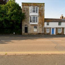
Alverton Terrace
638 m
Alverton Terrace
646 m
Alverton Terrace
652 mReviews
Visited this place? Tap the stars to rate it and share your experience / photos with the community! Try now! You can cancel it anytime.
Discover hidden gems everywhere you go!
From secret cafés to breathtaking viewpoints, skip the crowded tourist spots and find places that match your style. Our app makes it easy with voice search, smart filtering, route optimization, and insider tips from travelers worldwide. Download now for the complete mobile experience.

A unique approach to discovering new places❞
— Le Figaro
All the places worth exploring❞
— France Info
A tailor-made excursion in just a few clicks❞
— 20 Minutes