
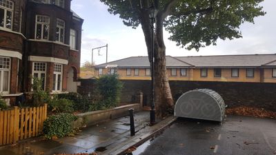
Wall Across Southern End Of Street, wall in Tower Hamlets, Greater London, UK
Location: London Borough of Tower Hamlets
GPS coordinates: 51.52562,-0.02328
Latest update: March 7, 2025 21:38
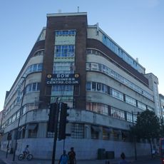
Former Poplar Town Hall (Bow House)
379 m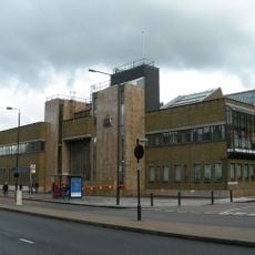
Thames Magistrates' Court
178 m
116 Bow Road and area railings
391 m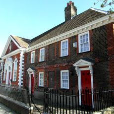
Drapers Almshouses And Chapel
320 m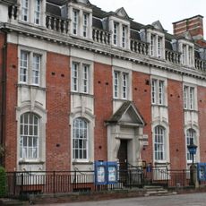
Police Station And Stables
241 m
69-95, Bow Road E3
238 m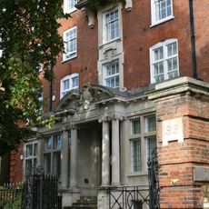
Tredegar House
240 m
13 and 15 Campbell Road and area railings
228 m
101-109, Bow Road E3
237 m
17 and 19 Campbell Road and area railings
219 m
5, Wellington Way E3
113 m
Poplar Chest Clinic 1 Wellington Way
130 m
21 and 23 Campbell Road and area railings
212 m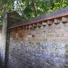
Boundary Wall To Tower Hamlets Cemetery
190 m
35-49 Arnold Road and area railings
106 m
9-20, Mornington Grove E3
48 m
25, Campbell Road E3
208 m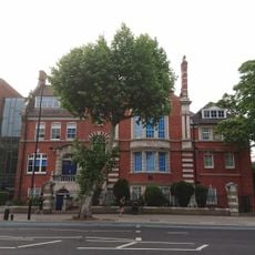
Central Foundation Girls School
386 m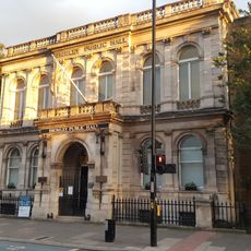
Bromley Public Hall
370 m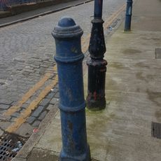
Seven Bollards
322 m
3, Wellington Way E3
122 m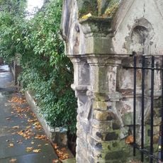
Garden Walls And Piers
45 m
K6 Telephone Kiosk, Outside 38 Bow Road
232 m
6-44, Campbell Road E3
180 m
27, Campbell Road E3
207 m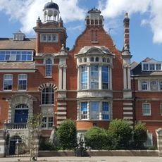
Gate Piers And Railings At Coborn School For Girls
370 m
1-25 Tomlins Grove and area railings and gate piers
141 m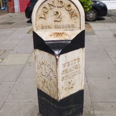
Milepost, Bow Road E3, opp. Wellington Way
246 mReviews
Visited this place? Tap the stars to rate it and share your experience / photos with the community! Try now! You can cancel it anytime.
Discover hidden gems everywhere you go!
From secret cafés to breathtaking viewpoints, skip the crowded tourist spots and find places that match your style. Our app makes it easy with voice search, smart filtering, route optimization, and insider tips from travelers worldwide. Download now for the complete mobile experience.

A unique approach to discovering new places❞
— Le Figaro
All the places worth exploring❞
— France Info
A tailor-made excursion in just a few clicks❞
— 20 Minutes