
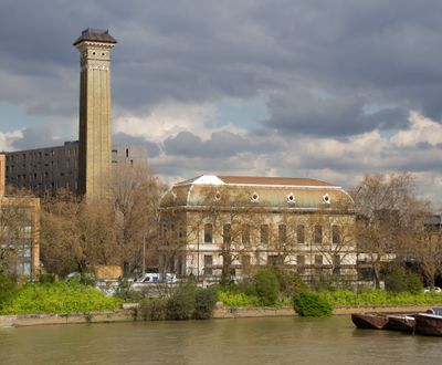
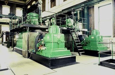
Western Pumping Station, City of Westminster, Greater London, SW1V
Location: City of Westminster
GPS coordinates: 51.48600,-0.14808
Latest update: April 25, 2025 03:57
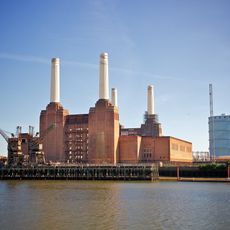
Battersea Power Station
601 m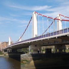
Chelsea Bridge
195 m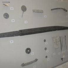
Seax of Beagnoth
353 m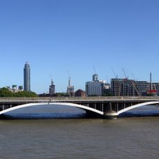
Grosvenor Bridge
148 m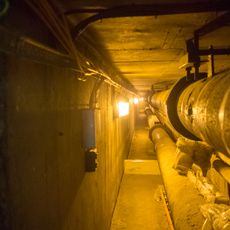
Pimlico District Heating Undertaking
540 m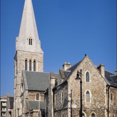
Church of St Barnabas
553 m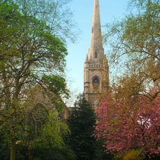
St Gabriel's, Pimlico
575 m
White Ferry House
345 m
The Orange
585 m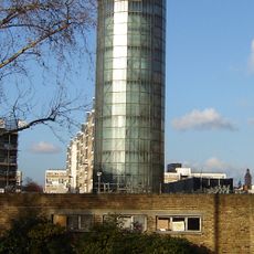
Accumulator Tower And District Heating Workshop
535 m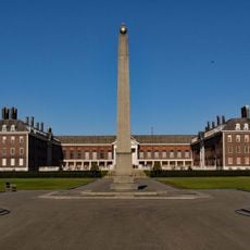
Memorial Obelisk, Royal Hospital
513 m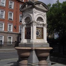
Fountain On East Side Of Junction With Avery Farm Row
584 m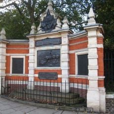
Carabiniers Memorial
160 m
119-125, Warwick Way Sw1
558 m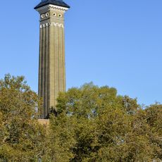
Chimney To Western Pumping Station Behind Number 124 Grosvenor Road
36 m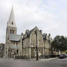
St Barnabas Parsonage And Gateway To North
536 m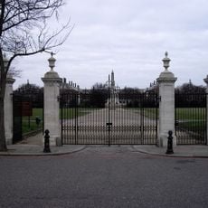
Entrance Gates On Main Axis From Chelsea Embankment Royal Hospital
467 m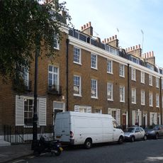
22-31, Bloomfield Terrace Sw1
581 m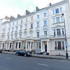
51-61, St George's Drive Sw1
588 m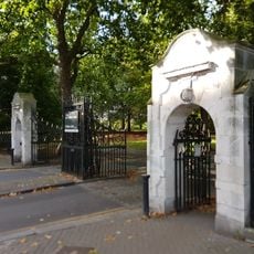
Chelsea Gate To Battersea Park
355 m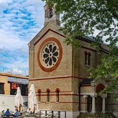
Guards' Chapel At Former Chelsea Barracks
469 m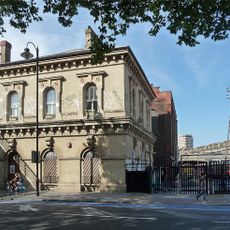
123A, Grosvenor Road Sw1
84 m
Coleridge House
583 m
Shelley House
579 m
Gilbert House
236 m
29–49 St George's Drive
592 m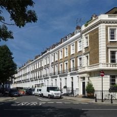
3-33, Alderney Street Sw1
557 m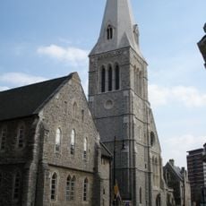
St Barnabas' CofE Primary School
579 mReviews
Visited this place? Tap the stars to rate it and share your experience / photos with the community! Try now! You can cancel it anytime.
Discover hidden gems everywhere you go!
From secret cafés to breathtaking viewpoints, skip the crowded tourist spots and find places that match your style. Our app makes it easy with voice search, smart filtering, route optimization, and insider tips from travelers worldwide. Download now for the complete mobile experience.

A unique approach to discovering new places❞
— Le Figaro
All the places worth exploring❞
— France Info
A tailor-made excursion in just a few clicks❞
— 20 Minutes