
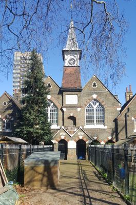
St Paul's Church Of England Primary School, school building in Tower Hamlets, Greater London, UK
Location: London Borough of Tower Hamlets
GPS coordinates: 51.51009,-0.06585
Latest update: March 7, 2025 18:24
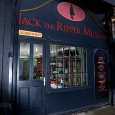
Jack the Ripper Museum
167 m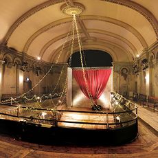
Wilton's Music Hall
101 m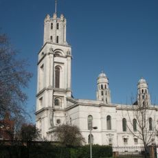
St George in the East
426 m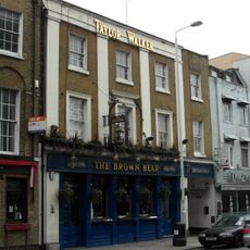
Brown Bear
238 m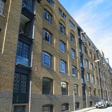
Wool House
269 m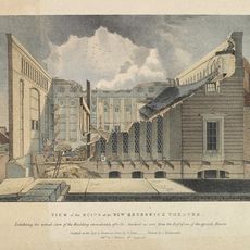
Royal Brunswick Theatre
131 m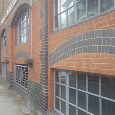
Chandlery House
361 m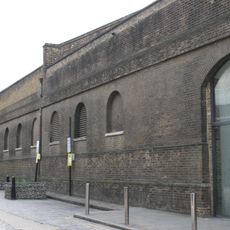
Pennington Street Warehouses (Including Former Canteen And Vaults Below)
251 m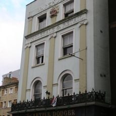
The Crown And Seven Stars Public House
301 m
194-224, Cable Street E1
414 m
99 Leman Street
326 m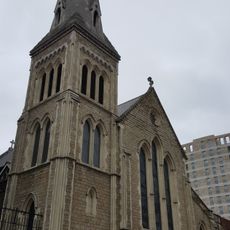
St Pauls Church (Church Of England)
147 m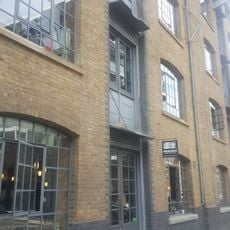
New Loom House
308 m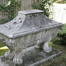
Anonymous Sarcophagus Approximately 7 Metres East Of St George's Rectory
401 m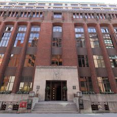
1, Prescot Street, London
317 m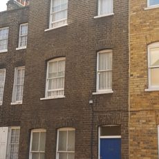
192, Cable Street E1
373 m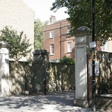
Gate Piers to Church Drive at Church of St George in the East
364 m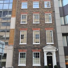
23, Prescot Street E1
420 m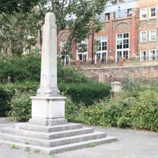
St George's Gardens War Memorial
444 m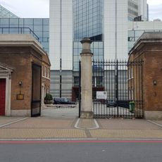
Gatehouses To Principal Entrance
273 m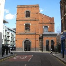
Hydraulic Pumping Station
282 m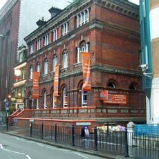
16, Prescot Street E1
367 m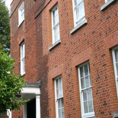
St George's Rectory
391 m
141, Leman Street E1
216 m
137, Leman Street E1
246 m
St Paul's Vicarage
158 m
9, Prescot Street, London
340 m
44, Cannon Street Road E1
358 mVisited this place? Tap the stars to rate it and share your experience / photos with the community! Try now! You can cancel it anytime.
Discover hidden gems everywhere you go!
From secret cafés to breathtaking viewpoints, skip the crowded tourist spots and find places that match your style. Our app makes it easy with voice search, smart filtering, route optimization, and insider tips from travelers worldwide. Download now for the complete mobile experience.

A unique approach to discovering new places❞
— Le Figaro
All the places worth exploring❞
— France Info
A tailor-made excursion in just a few clicks❞
— 20 Minutes