
Vicarage to St James's Church, clergy house in Haringey, Greater London, UK
Location: London Borough of Haringey
GPS coordinates: 51.58889,-0.14478
Latest update: March 5, 2025 01:04

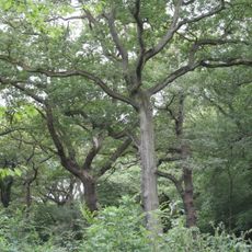
Queen's Wood
777 m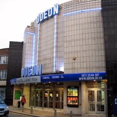
Everyman Muswell Hill
136 m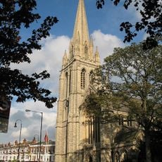
St James' Church, Muswell Hill
58 m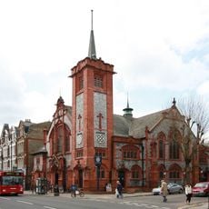
O'Neill's pub, Muswell Hill
147 m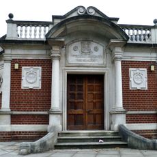
Hornsey War Memorial
1.1 km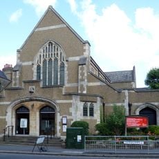
United Reformed Church
408 m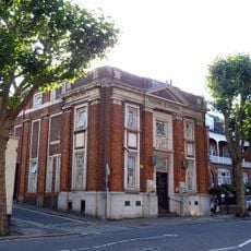
Muswell Hill Library
271 m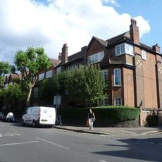
The Gables
445 m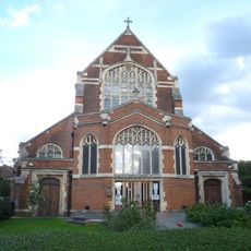
All Saints' Church
1.1 km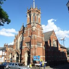
Muswell Hill Baptist Church
381 m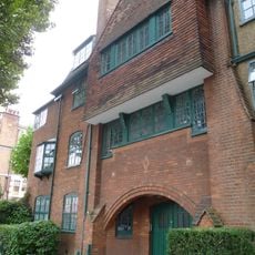
Birchwood Mansions
297 m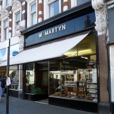
W Martyn, Grocers Shop On The Ground Floor
211 m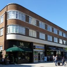
107–123 Muswell Hill Road
97 m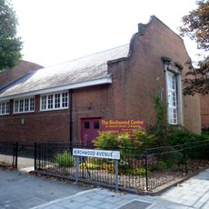
St James's Church Hall
332 m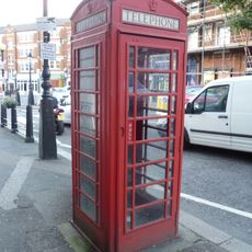
K6 Telephone Kiosk Adjacent To Cattle Drinking Trough
296 m
32 And 34, Wood Lane N6
1.1 km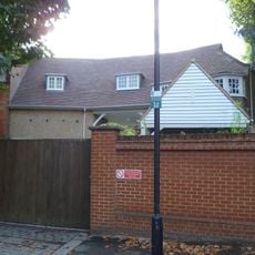
1, Firs Avenue
256 m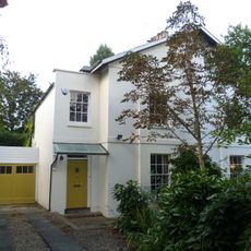
87 And 89, Fortis Green N2
901 m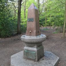
Drinking Fountain In Highgate Wood
606 m
29 And 31, Southern Road N2
953 m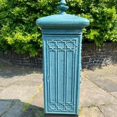
Electricity Supply Feeder
285 m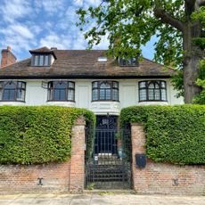
49, Lanchester Road
812 m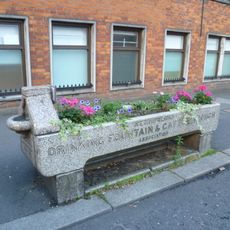
Cattle Trough
297 m
Albion Cottage Albion Lodge
901 m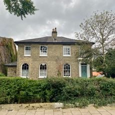
3 And 5, Southern Road N2
803 m
The Laurels
918 m
Administration Block At St Luke's Hospital
314 m
95 And 97, Fortis Green N2
850 mVisited this place? Tap the stars to rate it and share your experience / photos with the community! Try now! You can cancel it anytime.
Discover hidden gems everywhere you go!
From secret cafés to breathtaking viewpoints, skip the crowded tourist spots and find places that match your style. Our app makes it easy with voice search, smart filtering, route optimization, and insider tips from travelers worldwide. Download now for the complete mobile experience.

A unique approach to discovering new places❞
— Le Figaro
All the places worth exploring❞
— France Info
A tailor-made excursion in just a few clicks❞
— 20 Minutes