
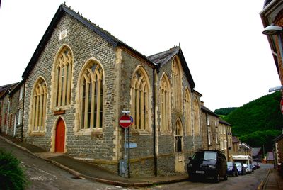
Knighton and Knucklas English Baptist Church, Baptist chapel in Knighton, Powys, Wales
Location: Knighton
Elevation above the sea: 200.1 m
GPS coordinates: 52.34487,-3.05178
Latest update: March 5, 2025 00:09
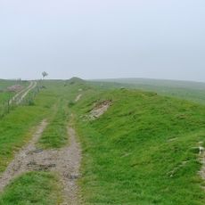
Offa's Dyke
212 m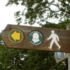
Offa's Dyke Path
104 m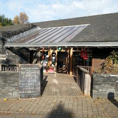
Offa's Dyke Centre
118 m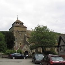
St Edward's Church
288 m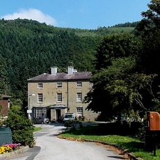
Former Council Offices,Cemetery Road
306 m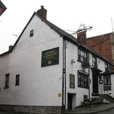
George & Dragon
188 m
No.15 (Green Price Almshouses) Church St.
247 m
No.17 (Green Price Almshouses) Church St.
236 m
No.18 (Green Price Almshouses) Church St.
231 m
No. 6 High Street (H. W. Parker, Chemist)
100 m
No.16 (Green Price Almshouses) Church St.
242 m
No.10 Church Street
180 m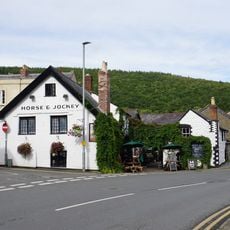
Horse & Jockey
274 m
No.1 High Street (Islwyn Watkins Antiques) including premises of W.Machin, Butcher, West Street
123 m
No.25 Broad Street (Prince & Pugh Ltd.)
159 m
Swan Hotel, Bridge Street
327 m
Knighton Hotel
258 m
No.24 Station Road
404 m
Youth Hostel Association and Heritage Centre (former primary school) West Street
113 m
Nos.22 (Florist) & 23 (C.B.Print) Broad St.
167 m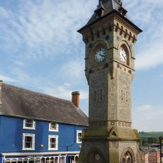
Clock Tower, High Street
143 m
Mandarin House (Chinese take-away) (Formerly Castle House) Castle Road
65 m
No.1 Wylcwm Street (Burford House)
273 m
No.23 High Street (Brown's Bakers)
110 m
No. 8 (The Odd Corner) High Street
89 m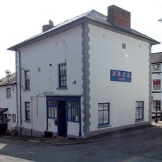
No.14 High Street (Rafa Club)
59 m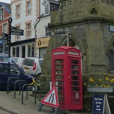
Telephone call-box on island site, beside Clock Tower, High Street
145 m
Ystrad House, Church Road
375 mReviews
Visited this place? Tap the stars to rate it and share your experience / photos with the community! Try now! You can cancel it anytime.
Discover hidden gems everywhere you go!
From secret cafés to breathtaking viewpoints, skip the crowded tourist spots and find places that match your style. Our app makes it easy with voice search, smart filtering, route optimization, and insider tips from travelers worldwide. Download now for the complete mobile experience.

A unique approach to discovering new places❞
— Le Figaro
All the places worth exploring❞
— France Info
A tailor-made excursion in just a few clicks❞
— 20 Minutes