
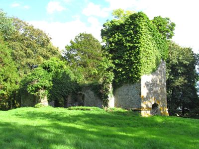
Ruins of former St Michael's Parish Church
Ruins of former St Michael's Parish Church, grade II listed building in St Clears. Within enclosed cemetery, at the end of a footpath, SE of Trefenty Farm
Location: St Clears
Elevation above the sea: 15.2 m
GPS coordinates: 51.79281,-4.46264
Latest update: March 10, 2025 18:37
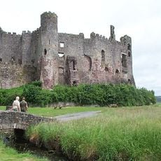
Laugharne Castle
2.7 km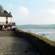
Dylan Thomas Boathouse
2.3 km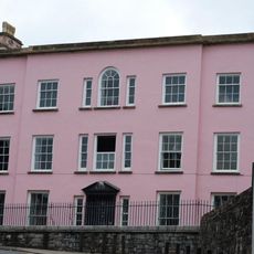
Castle House
2.5 km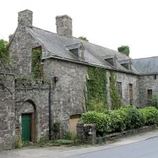
Island House
2.6 km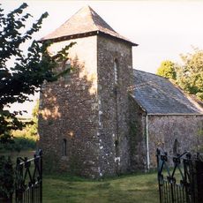
St Odoceus' Church, Llandawke
2.9 km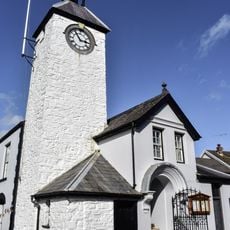
Laugharne Town Hall
2.5 km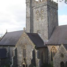
St Martin's Church, Laugharne
1.9 km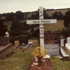
Grave of Dylan Thomas
1.9 km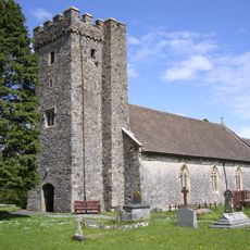
Parish Church of St Mary Magdalene
3.2 km
Castell Cogan
2.5 km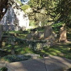
Churchyard at St.Martin's Parish Church, Church Street
1.9 km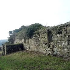
Church of St Teilo
727 m
Seaview
2.5 km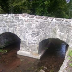
Coran Bridge,Newbridge Street
2.5 km
New Three Mariners P.H. Victoria Street
2.4 km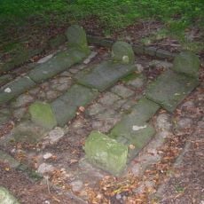
Pilgrims Graves By Ruins Of St Michael's Church
16 m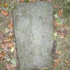
Pilgrim's Graves S Of Ruins Of St Michaels Church
28 m
Great House, King Street
2.3 km
Gazebo in grounds of Laugharne Castle
2.6 km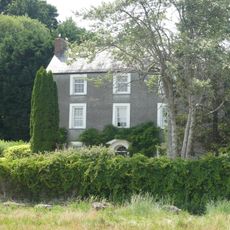
Strand House, The Strand
2.8 km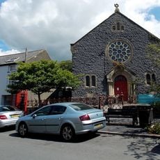
New Congregational Chapel
2.4 km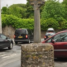
Cross,The Grist
2.6 km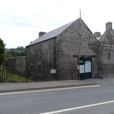
Garage to Island House, Wogan Street
2.6 km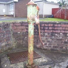
Water Pump
3.1 km
The Strand, The Strand
2.7 km
Vicarage,King Street
2.3 km
Pelican,King Street
2.4 km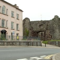
Outer Gatehouse To Laugharne Castle,market St.
2.5 kmReviews
Visited this place? Tap the stars to rate it and share your experience / photos with the community! Try now! You can cancel it anytime.
Discover hidden gems everywhere you go!
From secret cafés to breathtaking viewpoints, skip the crowded tourist spots and find places that match your style. Our app makes it easy with voice search, smart filtering, route optimization, and insider tips from travelers worldwide. Download now for the complete mobile experience.

A unique approach to discovering new places❞
— Le Figaro
All the places worth exploring❞
— France Info
A tailor-made excursion in just a few clicks❞
— 20 Minutes