
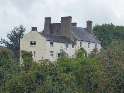
Hadnock Court, Grade II listed building in Monmouth. On a lane leading north from May Hill along the east bank of the River Wye.
Location: Monmouth
Elevation above the sea: 32.6 m
GPS coordinates: 51.82886,-2.68314
Latest update: March 3, 2025 07:34

King Arthur's Cave
1.8 km
The Kymin
2.2 km
Wyastone Leys
1 km
Newton Court
816 m
Lady Park Wood National Nature Reserve
1.6 km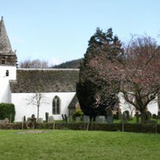
St Peter's Church
1.5 km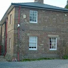
Monmouth County Gaol
2.5 km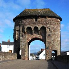
Monmouth town walls and defences
2.6 km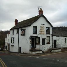
Old Nag's Head
2.6 km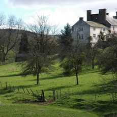
Hadnock
66 m
Chapel House
2.6 km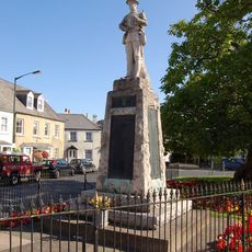
War memorials in Monmouth
2.6 km
North Parade House
2.5 km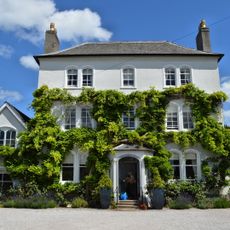
Parade House, Monmouth
2.6 km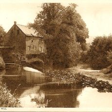
Monnow Mill
2.6 km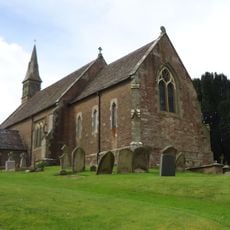
Church of St Swithin, Ganarew
1.6 km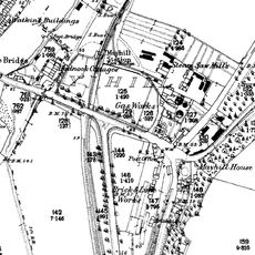
Monmouth Gasworks
2.6 km
Grist Castle Wood
2 km
The Naval Temple with surrounding retaining wall
2.3 km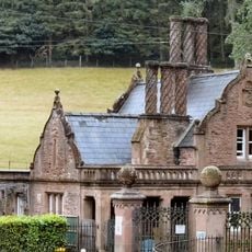
The Upper Lodge To Wyastone Leys
1.6 km
14 St. James's Street, Monmouth
2.6 km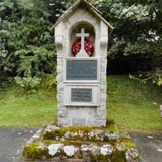
Ganarew War Memorial
1.5 km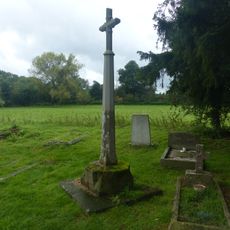
Cross in churchyard of Church of St. Peter
1.6 km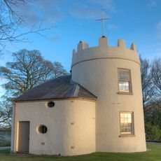
The Kymin Roundhouse
2.2 km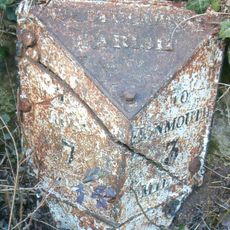
Milepost, Crocker's Ash
2.6 km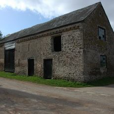
Granary and attached barn approximately 10 metres north west of Lewstone Farmhouse
2.6 km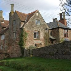
Lewstone Farmhouse
2.5 km
The Manor House
1.7 kmVisited this place? Tap the stars to rate it and share your experience / photos with the community! Try now! You can cancel it anytime.
Discover hidden gems everywhere you go!
From secret cafés to breathtaking viewpoints, skip the crowded tourist spots and find places that match your style. Our app makes it easy with voice search, smart filtering, route optimization, and insider tips from travelers worldwide. Download now for the complete mobile experience.

A unique approach to discovering new places❞
— Le Figaro
All the places worth exploring❞
— France Info
A tailor-made excursion in just a few clicks❞
— 20 Minutes