
Stronsay, Lamb Head, hillfort in Orkney Islands, Scotland, UK
Location: Orkney Islands
Location: Stronsay
GPS coordinates: 59.07894,-2.54185
Latest update: April 7, 2025 00:07
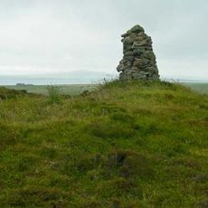
Castle Bloody
16.2 km
Mor Stein
17.2 km
Linton Chapel
16.3 km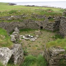
Burroughston Broch
15 km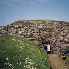
Quoyness chambered cairn
16.4 km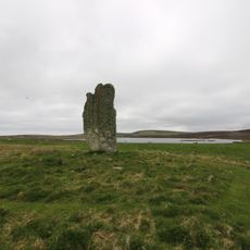
Stone of Setter, standing stone and enclosure, Eday
20.1 km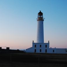
Auskerry Lighthouse
6.2 km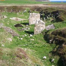
Carrick Farm,chambered cairn and cairn 500m SSW of
20.5 km
Cairns of the Calf of Eday
20.4 km
Huntersquoy
20.7 km
Earl’s Knoll
8.1 km
Vat of Kirbister
2.5 km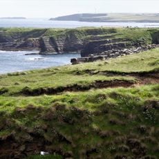
Mull Head Nature Reserve
15.4 km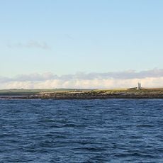
Papa Stronsay Lighthouse
8.9 km
Deerness, Covenanters Monument
17.5 km
Eday Church, Eday
17.1 km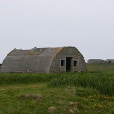
Rerwick Head, coastal battery (WW2) and camp
17.8 km
Sanday, Warsetter Dovecot
17.3 km
Sanday, Marygarth Manse
20.1 km
Stackel Brae,castle,Maltbarn,Eday
14.6 km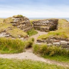
Mainland, Brough of Deerness
15.9 km
Holm of Huip,cairn
11.5 km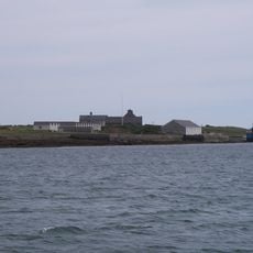
Papa Stronsay House
8.1 km
Sanday, Stove, Farmhouse
16.3 km
Mainland, The Brough
18.5 km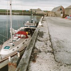
Sanday, Kettletoft Pier
17.2 km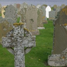
Skaill, St Ninian's Church, Churchyard
18.2 km
Warness Skerry
15.1 kmReviews
Visited this place? Tap the stars to rate it and share your experience / photos with the community! Try now! You can cancel it anytime.
Discover hidden gems everywhere you go!
From secret cafés to breathtaking viewpoints, skip the crowded tourist spots and find places that match your style. Our app makes it easy with voice search, smart filtering, route optimization, and insider tips from travelers worldwide. Download now for the complete mobile experience.

A unique approach to discovering new places❞
— Le Figaro
All the places worth exploring❞
— France Info
A tailor-made excursion in just a few clicks❞
— 20 Minutes