
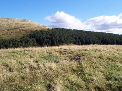
Burnt Humbleton, hillfort in Scottish Borders, Scotland, UK
Location: Scottish Borders
Location: Yetholm
GPS coordinates: 55.54584,-2.23595
Latest update: March 3, 2025 03:52
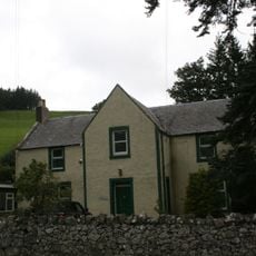
Peniel Revival Centre, Halterburn
1.6 km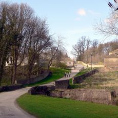
Bridge Over The Stank
3.1 km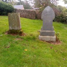
Kirk Yetholm, Parish Church, Graveyard
2.6 km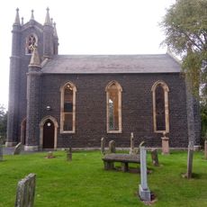
Kirk Yetholm Parish Church
2.6 km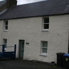
The Vardo, The Green, Kirk Yetholm
2.5 km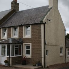
Staerough View, Main Street, Kirk Yetholm
2.6 km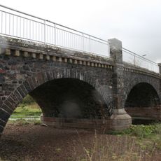
Yetholm Bridge
2.9 km
1 Mount View, Yetholm
3.2 km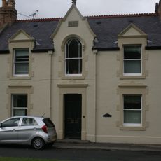
Mrs Turnbull, The Green, Kirk Yetholm
2.5 km
The Manse, Main Street, Kirk Yetholm
2.7 km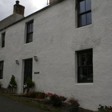
Valley Dene, High Street, Kirk Yetholm
2.4 km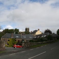
Yetholm Mill, Kirk Yetholm
2.7 km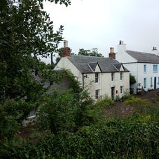
Rosebank, Venchen Road, Town Yetholm
3.2 km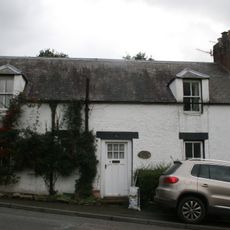
Lintonrig, High Street, Kirk Yetholm
2.5 km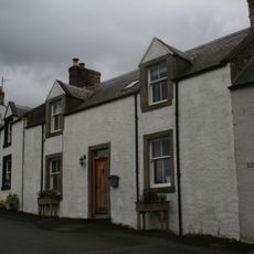
Glenview, High Street, Kirk Yetholm
2.4 km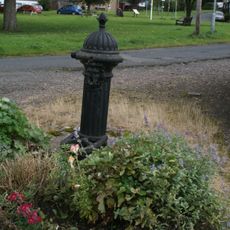
Water Pump, The Green, Kirk Yetholm
2.5 km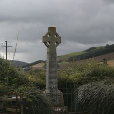
War Memorial, Yetholm
2.8 km
House, Yetholm Mill, Kirk Yetholm
2.7 km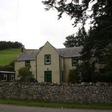
Halterburn
1.5 km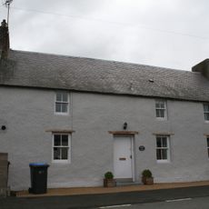
Kirk Yetholm, Main Street, Church View
2.5 km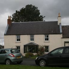
Mrs E Hirst, The Green, Kirk Yetholm
2.5 km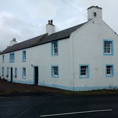
Old Manse, Venchen Road, Town Yetholm
3.2 km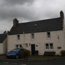
Kirk Yetholm, Main Street, Cross Keys House
2.5 km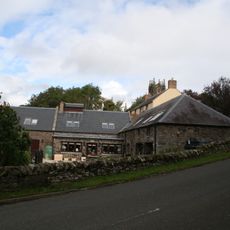
Cartshed And Granary, Yetholm Mill, Kirk Yetholm
2.7 km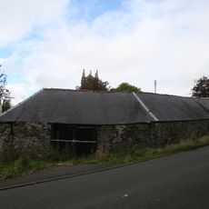
S Range, Farmsteading, Yetholm Mill, Kirk Yetholm
2.7 km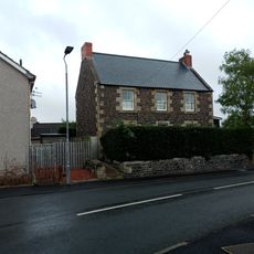
Smithy House, Dow Brae, Yetholm
3.2 km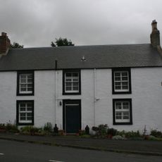
Hill View, High Street, Kirk Yetholm
2.5 km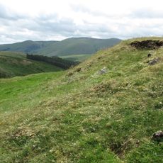
Ring Chesters defended settlement
1.7 kmReviews
Visited this place? Tap the stars to rate it and share your experience / photos with the community! Try now! You can cancel it anytime.
Discover hidden gems everywhere you go!
From secret cafés to breathtaking viewpoints, skip the crowded tourist spots and find places that match your style. Our app makes it easy with voice search, smart filtering, route optimization, and insider tips from travelers worldwide. Download now for the complete mobile experience.

A unique approach to discovering new places❞
— Le Figaro
All the places worth exploring❞
— France Info
A tailor-made excursion in just a few clicks❞
— 20 Minutes