
Sutton Scotney War Memorial, war memorial in Sutton Scotney, Hampshire
Location: Sutton Scotney
Location: Wonston
GPS coordinates: 51.15221,-1.33844
Latest update: March 5, 2025 00:01

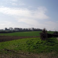
Norsebury Ring
2.8 km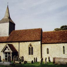
Church of St Michael
2.5 km
Church of All Saints
3.4 km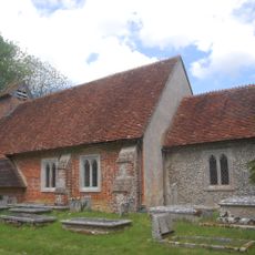
Church of St James
1.8 km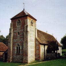
Church of St Michael
2 km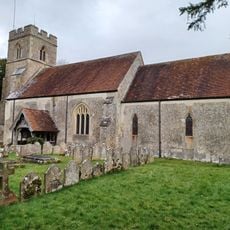
Church of the Holy Trinity
1.3 km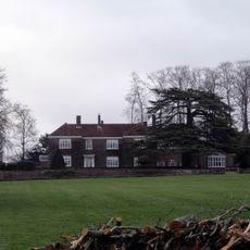
Norsebury House
2.8 km
Table Tomb 5 Metres North Of Church Of All Saints
3.4 km
The Swan Inn
3.3 km
Table Tomb 9 Metres North Of Church Of All Saints
3.4 km
Table Tomb 9 Metres Noth Of Church Of All Saints
3.4 km
Table Tomb 2 Metres North Of Church Of All Saints
3.4 km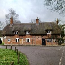
1-3, Hunton Down Lane
1.9 km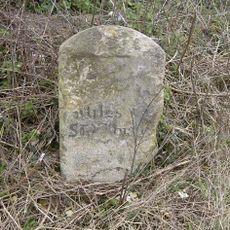
Milestone 800 Metres West Of Red House, Sutton Scotney
1.2 km
Table Tomb 7 Metres North Of Church Of All Saints
3.4 km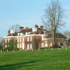
Hunton House
1.9 km
Old School House
3.3 km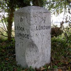
Milestone 1000 Metres North Hunton Grange Farm
3.5 km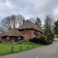
5 And 6, Hunton Down Lane
1.8 km
Table Tomb 10 Metres North Of Church Of All Saints
3.4 km
The Malt House And Boundary Wall
3.4 km
Table Tomb 12 Metres North Of Church Of All Saints
3.4 km
Table Tomb 10 Metres South Of Church Of All Saints
3.3 km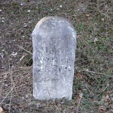
Milestone, Opposite Junction With Wonston Lane
2.5 km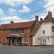
Coach And Horses
123 m
Table Tomb 5 Metres North Of Church Of All Saints
3.4 km
Milestone 100 Metres North Of Lower Cranbourne Farm Moated Site
1.9 km
Milestone, Cranbourne Grange
2.1 kmVisited this place? Tap the stars to rate it and share your experience / photos with the community! Try now! You can cancel it anytime.
Discover hidden gems everywhere you go!
From secret cafés to breathtaking viewpoints, skip the crowded tourist spots and find places that match your style. Our app makes it easy with voice search, smart filtering, route optimization, and insider tips from travelers worldwide. Download now for the complete mobile experience.

A unique approach to discovering new places❞
— Le Figaro
All the places worth exploring❞
— France Info
A tailor-made excursion in just a few clicks❞
— 20 Minutes