
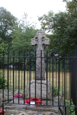
Stepney War Memorial, war memorial in London
Location: London Borough of Tower Hamlets
GPS coordinates: 51.51677,-0.04226
Latest update: March 9, 2025 17:45
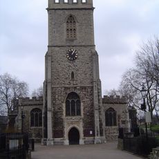
St Dunstan's, Stepney
46 m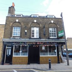
Queen's Head
405 m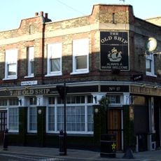
The Old Ship
390 m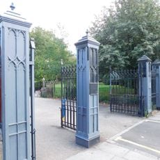
Iron Railings, Gate Piers And Gates At St Dunstan's Churchyard
21 m
Former East London Synagogue
244 m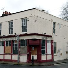
The Mercer's Arms Public House
219 m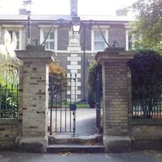
Gate Piers And Overthrow At Lady Mico's Almshouses
150 m
Stepney Jewish Primary And Infants School (Front Part Only)
406 m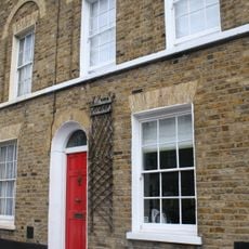
50 And 52, Belgrave Street E1
180 m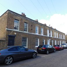
16-21, Flamborough Street E1
367 m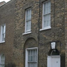
27, White Horse Lane E1
308 m
Wall And Gate Piers And Gates At Stepney Jewish Primary And Infants School
400 m
9-47, Bromley Street E1
283 m
6-90, Bromley Street E1
211 m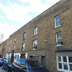
3-19, Durham Row E1
123 m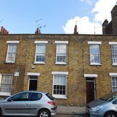
9-15, Flamborough Street E1
386 m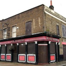
The British Prince Public House
242 m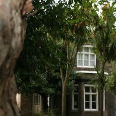
St Dunstan's Rectory
238 m
1-15, Barnes Street E1
421 m
12-22, Barnes Street E1
348 m
Stanley Atkinson Clock Tower
358 m
19-31, Barnes Street E1
375 m
9-16, York Square E14
381 m
Leonard Montefiore Drinking Fountain
321 m
62-68, White Horse Road E1
363 m
25, White Horse Lane E1
302 m
School Keepers House At Stepney Jewish Primary And Infants School
411 m
36-40, Belgrave Street E1
208 mVisited this place? Tap the stars to rate it and share your experience / photos with the community! Try now! You can cancel it anytime.
Discover hidden gems everywhere you go!
From secret cafés to breathtaking viewpoints, skip the crowded tourist spots and find places that match your style. Our app makes it easy with voice search, smart filtering, route optimization, and insider tips from travelers worldwide. Download now for the complete mobile experience.

A unique approach to discovering new places❞
— Le Figaro
All the places worth exploring❞
— France Info
A tailor-made excursion in just a few clicks❞
— 20 Minutes