
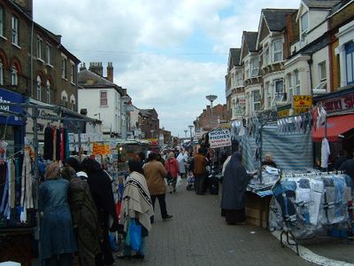
Walthamstow High Street, street in the London Borough of Waltham Forest
Location: London Borough of Waltham Forest
GPS coordinates: 51.58321,-0.02690
Latest update: March 12, 2025 20:23
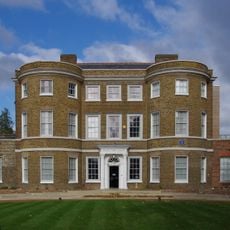
William Morris Gallery
1 km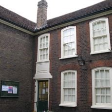
Vestry House Museum
981 m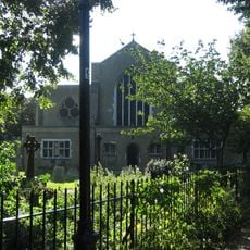
St. Mary's Church, Walthamstow
1.1 km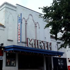
Mirth, Marvel and Maud
545 m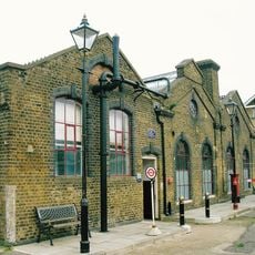
Walthamstow Pump House Museum
891 m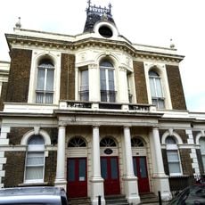
Old Town Hall
1 km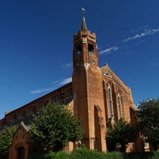
Church of St Barnabas and St James the Greater
809 m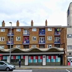
Central Parade, Walthamstow
582 m
East London Coroner's Court
586 m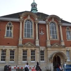
Walthamstow Library
425 m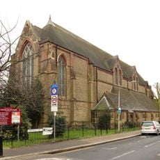
Church of St Michael and All Angels
301 m
Church of St Saviour
1.1 km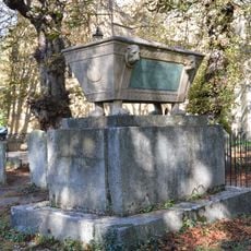
St Mary's Churchyard, Solly Family Tomb, About 20 Yards To South West Of Tower
1 km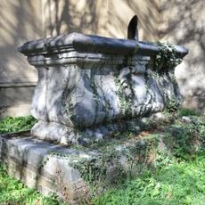
St Mary's Churchyard Wise Family Tomb Close To South Wall Of Tower
1 km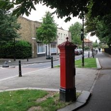
Pillar Box On Corner Of Church Lane And Path To St Mary's Church
1.1 km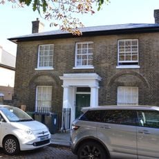
10, Church Lane E17
1.1 km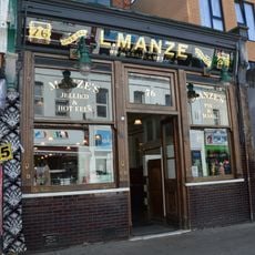
L Manze Eel, Pie And Mash Shop
219 m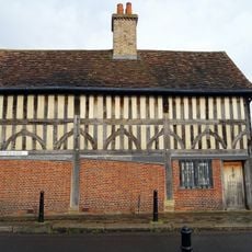
The Ancient House
1.1 km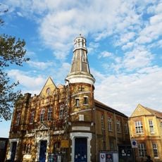
The Lighthouse Methodist Church
829 m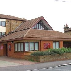
St Stephen's, Walthamstow
1.2 km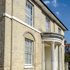
Clock House
496 m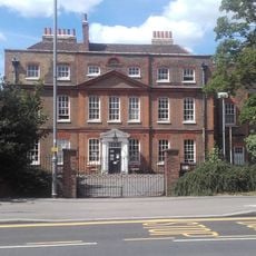
Chestnuts House
871 m
Wall To South East Side Of Graveyard To St Mary's Church
1.1 km
Monoux Almshouses
1.1 km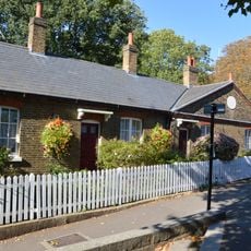
Squires Almshouses
995 m
The Chestnuts
1.1 km
Orford House Social Club
911 m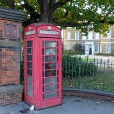
K6 Telephone Kiosk Outside William Morris Gallery, Forest Road
978 mReviews
Visited this place? Tap the stars to rate it and share your experience / photos with the community! Try now! You can cancel it anytime.
Discover hidden gems everywhere you go!
From secret cafés to breathtaking viewpoints, skip the crowded tourist spots and find places that match your style. Our app makes it easy with voice search, smart filtering, route optimization, and insider tips from travelers worldwide. Download now for the complete mobile experience.

A unique approach to discovering new places❞
— Le Figaro
All the places worth exploring❞
— France Info
A tailor-made excursion in just a few clicks❞
— 20 Minutes