
Monifieth, Scottish parish
Location: Angus
Location: Dundee City
Shares border with: Barry, Dundee, Dundee Combination, Murroes, Monikie
GPS coordinates: 56.50217,-2.83892
Latest update: April 24, 2025 15:11
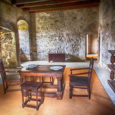
Claypotts Castle
4.3 km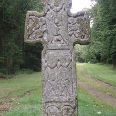
Camus Cross
4.7 km
Powrie Castle
6.3 km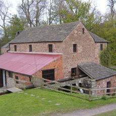
Barry Mill
4.9 km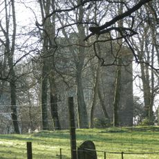
Affleck Castle
4.1 km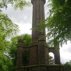
Panmure Testimonial
4.2 km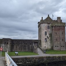
Broughty Castle Museum
4.8 km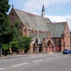
St Luke's Church, Broughty Ferry
4.6 km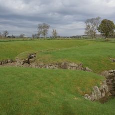
Carlungie and Ardestie earthhouses
2.9 km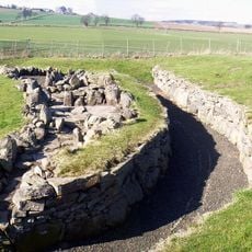
Ardestie, Earth House
1.8 km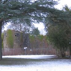
Ballumbie Castle
3.8 km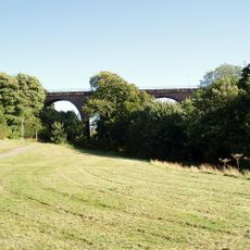
Balmossie Viaduct
2.3 km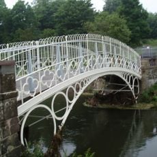
Linlathen East Bridge
2.8 km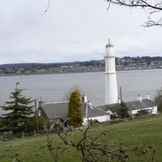
Tayport West Lighthouse
6.6 km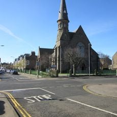
Dundee, Broughty Ferry, 96 Dundee Road, St Stephen's Church
4.6 km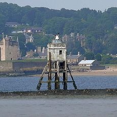
Tayport Pile Lighthouse
5.9 km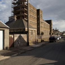
Dundee, Broughty Ferry, 2 Whinny Brae, Eastern Primary School
4.2 km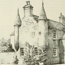
Gagie, Gagie House
4.5 km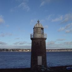
Tayport East Lighthouse
6.4 km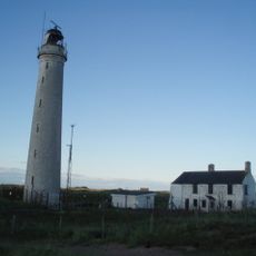
Buddon Ness, High Lighthouse
6.6 km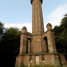
Commemorative Column, Panmure Estate
6.7 km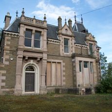
Dundee, Broughty Ferry, 42 Camphill Road, Craig-gowan
4.1 km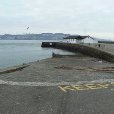
Broughty Ferry, Harbour
4.7 km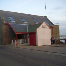
Broughty Ferry Lifeboat Station
4.8 km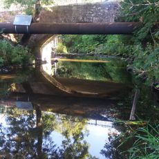
Dundee, Balmossie, Bridge
2.4 km
Dundee, West Ferry, 20 Douglas Terrace
4.7 km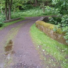
Barry, Upper Mill Bridge
5 km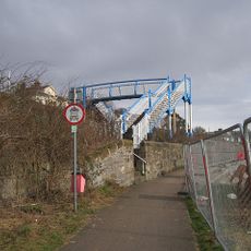
Dundee, West Ferry, Beach Lane, Railway Footbridge
4.9 kmReviews
Visited this place? Tap the stars to rate it and share your experience / photos with the community! Try now! You can cancel it anytime.
Discover hidden gems everywhere you go!
From secret cafés to breathtaking viewpoints, skip the crowded tourist spots and find places that match your style. Our app makes it easy with voice search, smart filtering, route optimization, and insider tips from travelers worldwide. Download now for the complete mobile experience.

A unique approach to discovering new places❞
— Le Figaro
All the places worth exploring❞
— France Info
A tailor-made excursion in just a few clicks❞
— 20 Minutes