
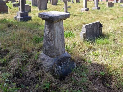
Sundial approximately 40 metres to south of St Bartholomew's Church
Sundial approximately 40 metres to south of St Bartholomew's Church, sundial in Thurstaston, Merseyside, UK
Location: Wirral
Inception: 1844
Made from material: stone
GPS coordinates: 53.34823,-3.13172
Latest update: March 25, 2025 09:55
Wirral Country Park
1.1 km
Thurstaston Common
785 m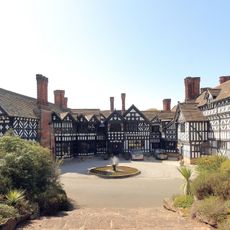
Hill Bark
1.8 km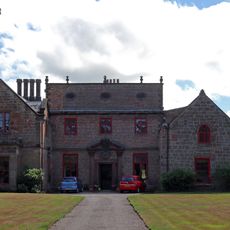
Thurstaston Hall
69 m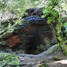
The Dungeon SSSI
2.2 km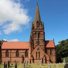
St. Bartholomew's Church, Thurstaston
39 m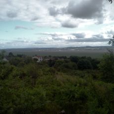
Heswall Dales
2.3 km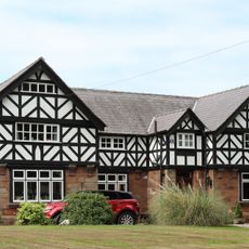
Irby Hall
873 m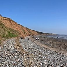
Dee Cliffs
1.4 km
Cleaver Heath Nature Reserve
2.1 km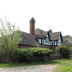
Hill Bark Farmhouse
1.8 km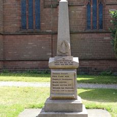
Thurstaston War Memorial
61 m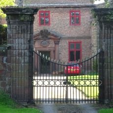
Gatepiers To North Of Thurstaston Hall
83 m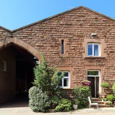
Barn To Dawpool Farm, To West Of Other Buildings Granary To Dawpool Farm, To West Of Other Buildings
236 m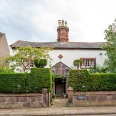
Manor Farmhouse
2.4 km
Banks Farmhouse, Caldy
2.4 km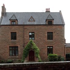
Dawpool Farmhouse
199 m
Benty Heath Farmhouse
2.3 km
Cattle Sheds Incorporating Smithy And Implement Shed At Dawpool Farm
200 m
Oldfield Farmhouse
1.5 km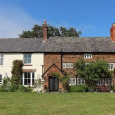
Pensby Hall
2.1 km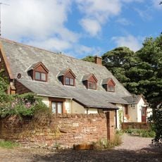
Former Thurstaston School
169 m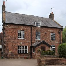
Irby Farmhouse
967 m
South Lodge with Attached Gates and Gate Piers
243 m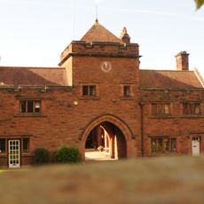
The Clock Tower
230 m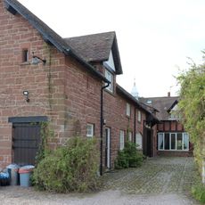
Outbuildings at Hill Bark Farm
1.8 km
96, Caldy Road
2.4 km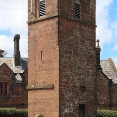
Tower of former church of St Bartholomew
42 mReviews
Visited this place? Tap the stars to rate it and share your experience / photos with the community! Try now! You can cancel it anytime.
Discover hidden gems everywhere you go!
From secret cafés to breathtaking viewpoints, skip the crowded tourist spots and find places that match your style. Our app makes it easy with voice search, smart filtering, route optimization, and insider tips from travelers worldwide. Download now for the complete mobile experience.

A unique approach to discovering new places❞
— Le Figaro
All the places worth exploring❞
— France Info
A tailor-made excursion in just a few clicks❞
— 20 Minutes