
Sundial approx. 17m. to north of St. Barnabas' Church
Sundial approx. 17m. to north of St. Barnabas' Church, sundial in Bromborough, Merseyside, UK
Location: Wirral
Inception: 1730
GPS coordinates: 53.33305,-2.97898
Latest update: March 3, 2025 21:31

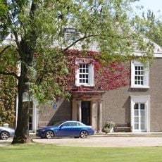
Poulton Hall
1.5 km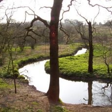
Dibbinsdale
1.1 km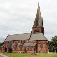
St Barnabas' Church, Bromborough
21 m
Chapel of the Good Shepherd, Carlett Park
1.7 km
St Matthew's Church, Bromborough Pool
2 km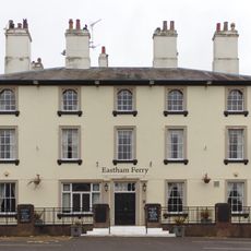
Eastham Ferry Hotel
1.6 km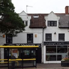
54, 56, 56A, Bromborough Village Road
105 m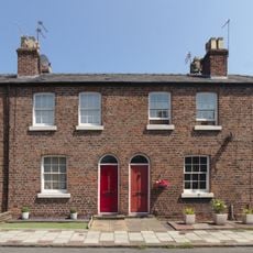
39 - 45 Manor Place, Bromborough Pool
2 km
School and Masters House
80 m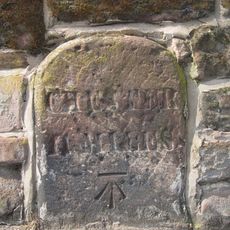
Mile Stone To South Of Junction With Mark Rake
153 m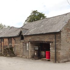
Barn at Vineyard Farm, Poulton Lancelyn
1.6 km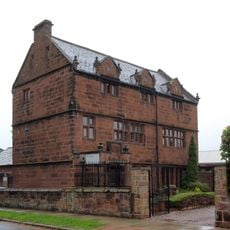
Stanhope House
137 m
Wall to grounds of Stanhope House
149 m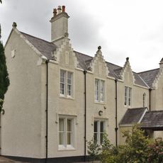
Poulton Hey
1.4 km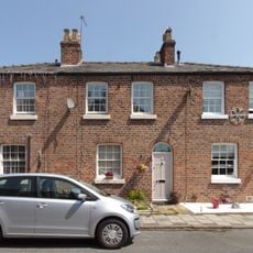
33 - 37 Manor Place, Bromborough Pool
2 km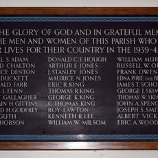
Bromborough WWII Memorial Plaque
9 m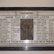
Bromborough WWI Memorial Tablet
15 m
The Enterprise Centre, Bromborough Pool
1.9 km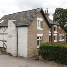
Vineyard Farmhouse
1.6 km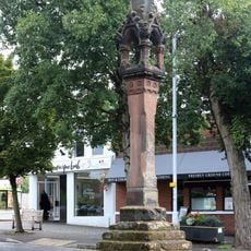
Bromborough Market Cross
137 m
Bromborough Moat
2 km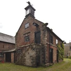
Brewhouse at Poulton Hall
1.5 km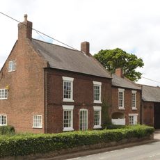
Lancelyn farmhouse and attached barn
1.6 km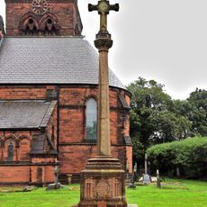
Bromborough War Memorial
49 m
Standing cross in churchyard of St Barnabas, Bromborough, beside the porch
29 m
38 - 44 Manor Place, Bromborough Pool
2 km
Bromborough Pool War Memorial
2 km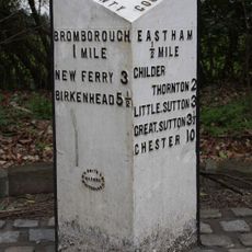
Milepost, N of Eastham, by cemetery
1.6 kmReviews
Visited this place? Tap the stars to rate it and share your experience / photos with the community! Try now! You can cancel it anytime.
Discover hidden gems everywhere you go!
From secret cafés to breathtaking viewpoints, skip the crowded tourist spots and find places that match your style. Our app makes it easy with voice search, smart filtering, route optimization, and insider tips from travelers worldwide. Download now for the complete mobile experience.

A unique approach to discovering new places❞
— Le Figaro
All the places worth exploring❞
— France Info
A tailor-made excursion in just a few clicks❞
— 20 Minutes