
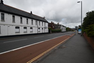
St. Lukes College Stable Block, building in Exeter, Devon
Location: Exeter
Address: Heavitree Road, Exeter
GPS coordinates: 50.72325,-3.51618
Latest update: March 4, 2025 11:53
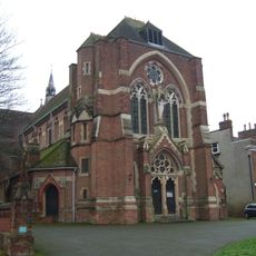
St Matthew's Church
284 m
5 And 7, Victoria Park Road
312 m
1 and 3, Victoria Park Road
292 m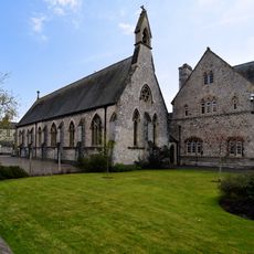
St Luke's University Chapel
26 m
143, Magdalen Road
257 m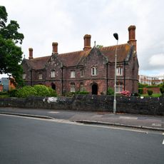
Grendon's Almhouses
202 m
58A (Stable Block/Coachhouse), Magdalen Road
234 m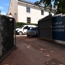
145, Magdalen Road
276 m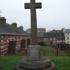
Newtown War Memorial
323 m
Front Wall Of No 147
307 m
138 And 140, Heavitree Road
205 m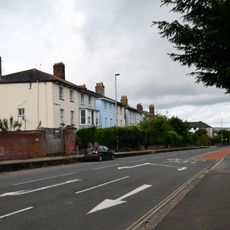
Midway Terrace
216 m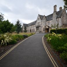
St. Lukes College Main Building
57 m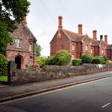
Street Wall Fronting Grendon's And Attwill Kingdon Almshouses
231 m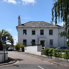
40, Magdalen Road
320 m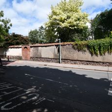
Wall of No 12
217 m
1-4 and 7-9, Lower Summerlands
283 m
149, Magdalen Road
314 m
147, Magdalen Road
286 m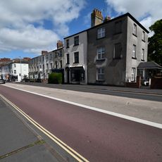
37 Heavitree Road
321 m
Garden Walls Of Nos 64 And 66
263 m
58 (Hensleigh House), Magdalen Road
262 m
Penleonard Place
266 m
62 (Penleonard House), Magdalen Road
266 m
79 & 80, Polsloe Road
324 m
22 (The Lodge), Spicer Road
301 m
1 and 4, Baring Crescent
207 m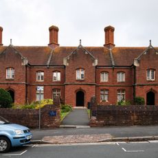
Attwill-Kingdon Almhouses
239 mReviews
Visited this place? Tap the stars to rate it and share your experience / photos with the community! Try now! You can cancel it anytime.
Discover hidden gems everywhere you go!
From secret cafés to breathtaking viewpoints, skip the crowded tourist spots and find places that match your style. Our app makes it easy with voice search, smart filtering, route optimization, and insider tips from travelers worldwide. Download now for the complete mobile experience.

A unique approach to discovering new places❞
— Le Figaro
All the places worth exploring❞
— France Info
A tailor-made excursion in just a few clicks❞
— 20 Minutes