
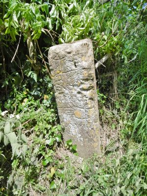
Direction stone at the junction of Smith's Hill and Smoky Hole Lane
Direction stone at the junction of Smith's Hill and Smoky Hole Lane, direction stone near Middle Chinnock, Somerset, UK
Location: West and Middle Chinnock
GPS coordinates: 50.92315,-2.75072
Latest update: March 10, 2025 00:55

Church of St Mary the Virgin, Norton Sub Hamdon
1.9 km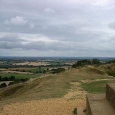
Ham Hill
3.2 km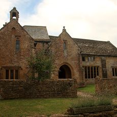
Stoke sub Hamdon Priory
3.4 km
Church of St Mary the Virgin, East Stoke
3.4 km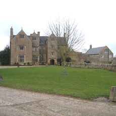
Wigborough Manor House
2.6 km
Church of All Saints
3.3 km
Church of St Michael and All Angels
3.1 km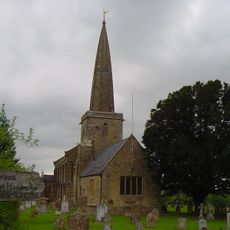
Church of St Peter and St Paul
1 km
Church of Saint Mary
841 m
Church of Saint Margaret
892 m
Church of Saint Mary
2.6 km
30, Church Street
3.2 km
Fleur De Lis Hotel
3.3 km
King's Head Inn
3.1 km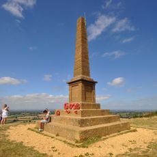
Hamdon Hill War Memorial
3.3 km
Group Of Three Monuments In Churchyard, About 10 Metres South Of South-East Corner, Church Of All Saints
3.3 km
Milestone, Outside The Post Office And Stores
3.2 km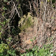
Milestone At Ngr St 4999 1611
3.4 km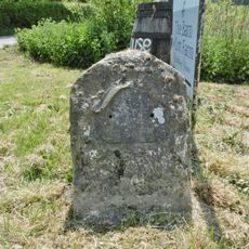
Milestone At Ngr 49151268
2.2 km
Milestone, 125 Metres South West Of Foxwell Lane Junction At Ngr St 47711220
1.9 km
Former Sunday School
3.3 km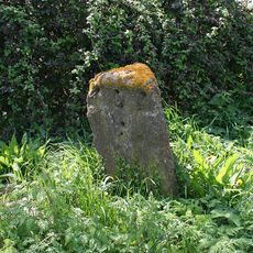
Milestone At Ngr St4637 1687
3 km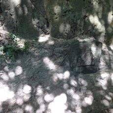
Milestone, Approximately 30M South-West Of Coker Hill Bridge
3.1 km
The Pinnacles
2.2 km
Weston House
2 km
Direction stone at the junction of Foxwell Lane and the A30
1.8 km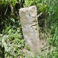
Guidestone, Smoky Hole Lane
7 m
Lower Severalls Farmhouse
3.2 kmReviews
Visited this place? Tap the stars to rate it and share your experience / photos with the community! Try now! You can cancel it anytime.
Discover hidden gems everywhere you go!
From secret cafés to breathtaking viewpoints, skip the crowded tourist spots and find places that match your style. Our app makes it easy with voice search, smart filtering, route optimization, and insider tips from travelers worldwide. Download now for the complete mobile experience.

A unique approach to discovering new places❞
— Le Figaro
All the places worth exploring❞
— France Info
A tailor-made excursion in just a few clicks❞
— 20 Minutes