
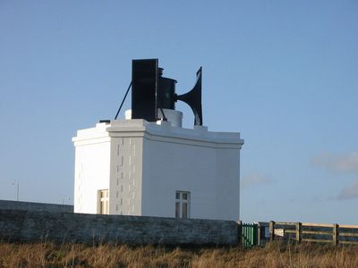
Souter Lighthouse foghorn
Location: South Tyneside
Architects: James Nicholas Douglass
Part of: Souter Point Lighthouse Foghorn To East Of Lighthouse And Steps And Walls To East Of Lighthouse, Souter Lighthouse
GPS coordinates: 54.97058,-1.36331
Latest update: April 18, 2025 21:39
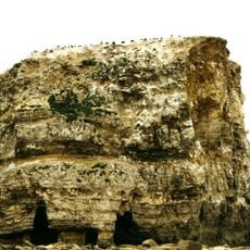
Marsden Rock
1.1 km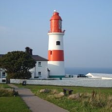
Souter Lighthouse
13 m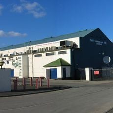
Sunderland Greyhound Stadium
4.5 km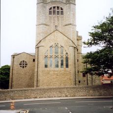
St Andrew's Church, Roker
4.8 km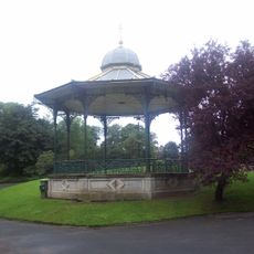
Roker Park
5 km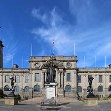
Municipal Buildings
5 km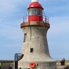
Tyne South Pier light
5.1 km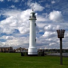
Old South Pier Lighthouse
4.4 km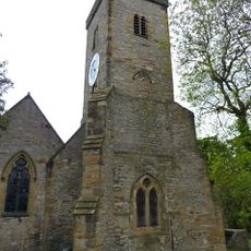
Parish Church
2.5 km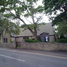
Church of All Saints
2.9 km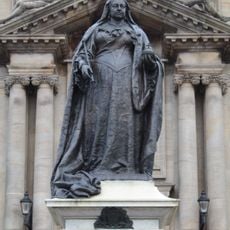
Statue of Queen Victoria
4.7 km
St. Peter's Church
3.4 km
Cat and Dog Steps
4.6 km
St Jude’s Church Rekendyke
5 km
The Bede Memorial
4.9 km
South Shields Volunteer Life Brigage Watch House
5 km
Ocean Beach Pleasure Park
4.9 km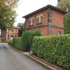
Combined Engine And Boiler Houses, Adjacent Coal Store, Engineman's House And Cottage At Cleadon Pumping Station
2.3 km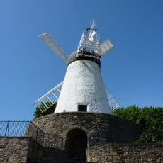
Fulwell Mill
5 km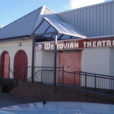
Westovian Theatre Pier Pavilion
4.7 km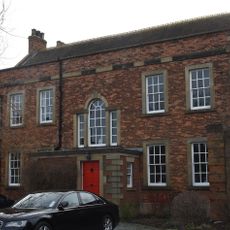
Cleadon House
4.5 km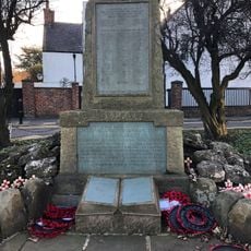
Cleadon War Memorial
3 km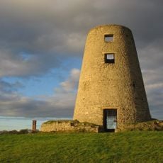
Cleadon Mill
2.2 km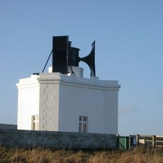
Souter Point Lighthouse Foghorn To East Of Lighthouse And Steps And Walls To East Of Lighthouse
2 m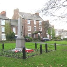
Whitburn War Memorial
2.5 km
East-West Wall 35 Metres South Of Red Cottage And Linking Wall To House
2.6 km
Detached Chimney At Cleadon Pumping Station
2.2 km
No 52 (Olde House) And Coach House Adjoining To East
2.5 kmReviews
Visited this place? Tap the stars to rate it and share your experience / photos with the community! Try now! You can cancel it anytime.
Discover hidden gems everywhere you go!
From secret cafés to breathtaking viewpoints, skip the crowded tourist spots and find places that match your style. Our app makes it easy with voice search, smart filtering, route optimization, and insider tips from travelers worldwide. Download now for the complete mobile experience.

A unique approach to discovering new places❞
— Le Figaro
All the places worth exploring❞
— France Info
A tailor-made excursion in just a few clicks❞
— 20 Minutes