
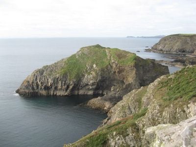
Gewni, hill (35.7m) in Pembrokeshire
Location: Pembrokeshire
Elevation above the sea: 35.7 m
GPS coordinates: 51.86738,-5.20130
Latest update: March 12, 2025 13:05
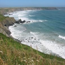
Pembrokeshire Coast Path
1.4 km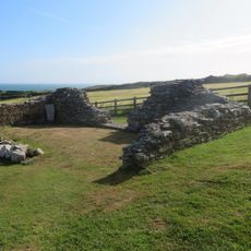
Chapel of St Non
4.7 km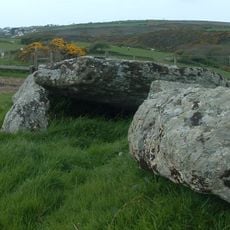
St Elvis Farm, Burial Chambers
1.6 km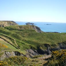
Porth y Rhaw Camp
1.2 km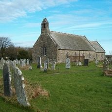
Church of St.David, Tregroes/Whitchurch
1.9 km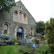
Raul Speek Gallery
1.3 km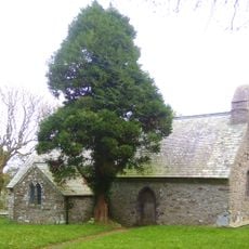
Church Of St.hywel, llanhowell
4.4 km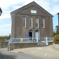
Ebeneser Welsh Independent Chapel
4.7 km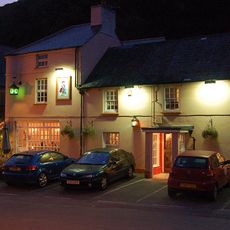
The Cambrian Inn
1.3 km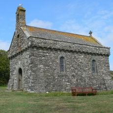
Chapel of Our Lady & St. Non
4.5 km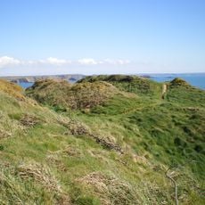
Castell Penpleidiau
3.4 km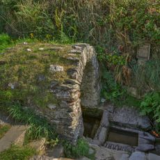
St Non's Well
4.6 km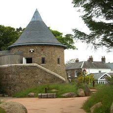
Oriel y Parc
4.3 km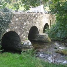
Middle Mill Bridge,Felinganol/Middle Mill
2.4 km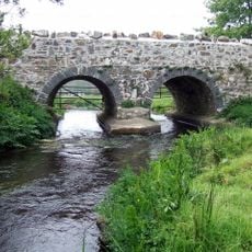
Caerforiog Bridge,Caerforiog
3.5 km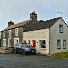
Y Post/The Old Post Office,Caerfarchell
3.4 km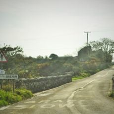
Pont Y Gwrhyd,Rhodiad Y Brenin
4.7 km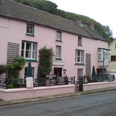
The Old Printing House
1.2 km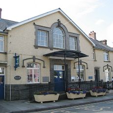
St Davids Library
4.7 km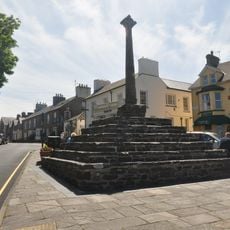
The City Cross,cross Square (in Centre)
4.7 km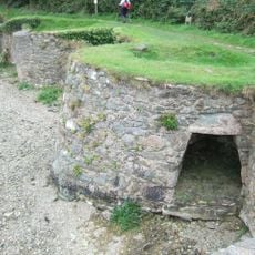
Limekiln On S.Sdie of Estuary, Y Gribin, Solfach Isaf/Lower Solva
946 m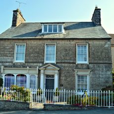
Menai,Including Garden Walls,Gates & Railings, Cross Square
4.7 km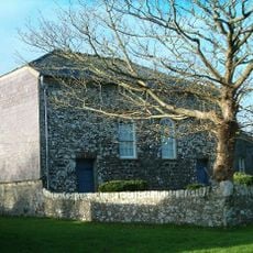
Caerfarchell Chapel
3.4 km
No.10 Main Street (Tan-Yr-Allt) Solfach Isaf/Lower Solva
1.3 km
30 Pen Yr Aber (Bryn Y Mor)
744 m
Gribin Promontory Fort, Solva
598 m
Porth Y Bwch
1.5 km
The Manse, including Pigsty attached at north end
3.4 kmReviews
Visited this place? Tap the stars to rate it and share your experience / photos with the community! Try now! You can cancel it anytime.
Discover hidden gems everywhere you go!
From secret cafés to breathtaking viewpoints, skip the crowded tourist spots and find places that match your style. Our app makes it easy with voice search, smart filtering, route optimization, and insider tips from travelers worldwide. Download now for the complete mobile experience.

A unique approach to discovering new places❞
— Le Figaro
All the places worth exploring❞
— France Info
A tailor-made excursion in just a few clicks❞
— 20 Minutes