
Milepost, Crewe Road, Cranberry Moss, W of Alsager, milepost in Alsager, Congleton, UK
Location: Congleton
Inception: 20 century
GPS coordinates: 53.09126,-2.32698
Latest update: March 3, 2025 21:03

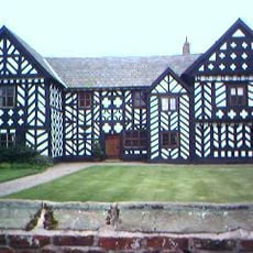
Haslington Hall
3.5 km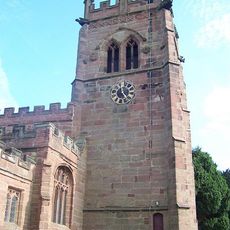
St Bertoline's Church, Barthomley
2.9 km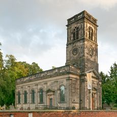
Christ Church, Alsager
997 m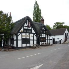
White Lion, Barthomley
2.9 km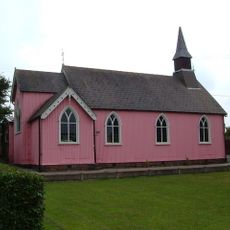
St Philip's Church, Hassall Green
3.3 km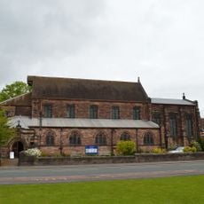
St Mary Magdalene's Church, Alsager
1.4 km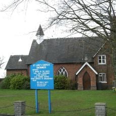
St Luke's Church, Oakhanger
1.8 km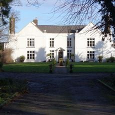
Hassall Hall
2.6 km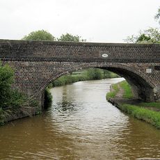
Bridge No 146
3.4 km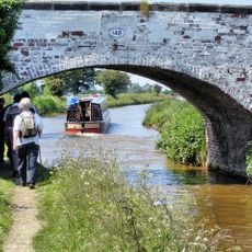
Bridge No 148
3.5 km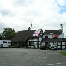
The Romping Donkey Public House
3.5 km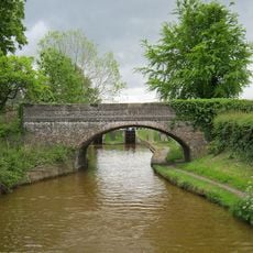
Trent and Mersey Canal Bridge at SJ 7950 5794
3.3 km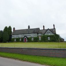
Old Hall Farmhouse
3.3 km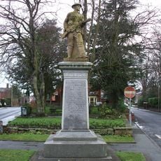
Alsager War Memorial
1.7 km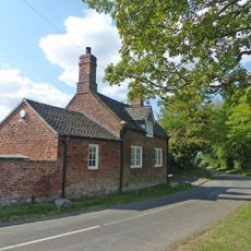
The Smithy
3.2 km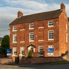
Townhouse Farmhouse
2 km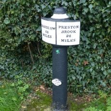
Canal milepost at SJ79665797
3.4 km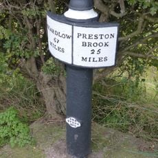
Milepost upstream of Lock No. 57
3.4 km
Mill Farmhouse
2.3 km
School buildings and schoolmasters house
959 m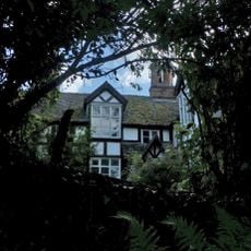
Church Bank
3 km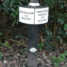
Trent and Mersey Canal milepost to north of bridge number 138 at SJ 8083 5691
3.3 km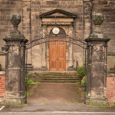
Pair of gatepiers c.5 yards from the western door of Church of Christ
985 m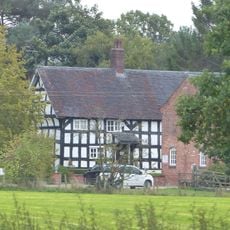
Bank Farmhouse
3.1 km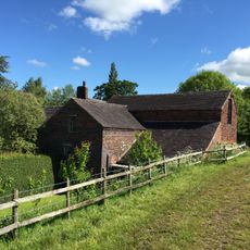
Audley Mill
2.8 km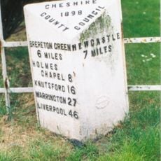
Milepost, Lawton Heath jct
2.9 km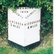
Milepost, Chellshill, N of aqueduct
3.4 km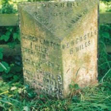
Milepost, entrance to Longstyle Farm
3 kmReviews
Visited this place? Tap the stars to rate it and share your experience / photos with the community! Try now! You can cancel it anytime.
Discover hidden gems everywhere you go!
From secret cafés to breathtaking viewpoints, skip the crowded tourist spots and find places that match your style. Our app makes it easy with voice search, smart filtering, route optimization, and insider tips from travelers worldwide. Download now for the complete mobile experience.

A unique approach to discovering new places❞
— Le Figaro
All the places worth exploring❞
— France Info
A tailor-made excursion in just a few clicks❞
— 20 Minutes