
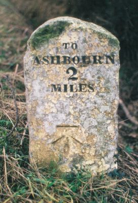
Milestone, S of the Ketch PH, NE of Rowfield Lane jct, milestone in Kniveton, Derbyshire Dales, UK
Location: Derbyshire Dales
Inception: 19 century
GPS coordinates: 53.04196,-1.70629
Latest update: March 2, 2025 23:17
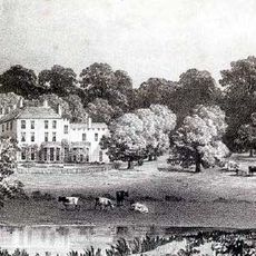
Ashbourne Hall
2.9 km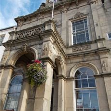
The Town Hall
3.2 km
St Michael and All Angels Church, Kniveton
1.5 km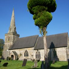
Church of St Edmund
2.4 km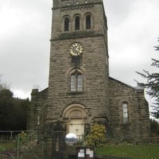
Church of St John With Street Railings, Gates, Piers And Front Steps
3 km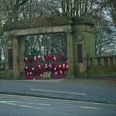
War Memorial Arch to Park
3.1 km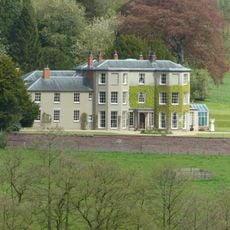
Sandybrook Hall
2.3 km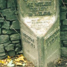
Mile Post Opposite Bentley Brook Hotel At Ngr 176 496
2.1 km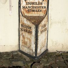
Milestone
3.2 km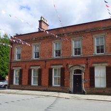
58, St John's Street
3.1 km
Bust of Catherine Mumford (Booth)
3 km
Milestone on parish boundary with Tissington at NGR 189 521
2.8 km
Bradbourne Mill
2.7 km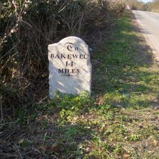
Mile Stone (South West Of Horsley Farm)
1.7 km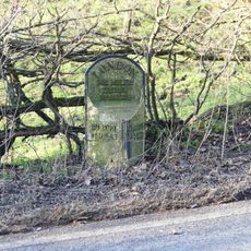
Mile post, north of old railway bridge at NGR 173 512
3 km
Stables at Sandybrook Hall
2.3 km
Woodhead Farm
2.3 km
Cherry Orchard Farmhouse and attached outbuildings
2.3 km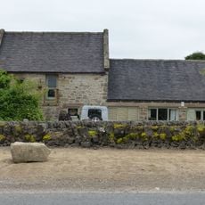
Bradbourne Mill outbuildings to south of mill
2.7 km
Boundary walls and gate piers to Sandybrook Hall
2.4 km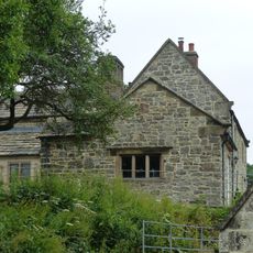
Bradbourne Mill House
2.7 km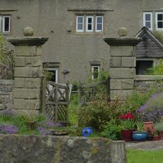
Gate piers at Woodhead Farm
2.3 km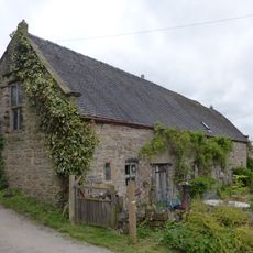
Barn at Woodhead Farm
2.3 km
Atlow moated site, enclosures and causeway
3 km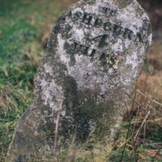
Milestone, N of The Green Hall
1.7 km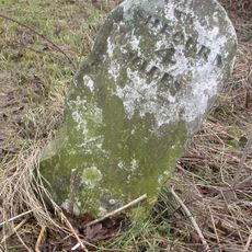
Milestone, Hognaston Winn
3 km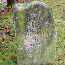
Milestone, opp. parish church entrance
1.5 km
Milestone, Woodeaves Cottage, Bakewell Road
1.4 kmReviews
Visited this place? Tap the stars to rate it and share your experience / photos with the community! Try now! You can cancel it anytime.
Discover hidden gems everywhere you go!
From secret cafés to breathtaking viewpoints, skip the crowded tourist spots and find places that match your style. Our app makes it easy with voice search, smart filtering, route optimization, and insider tips from travelers worldwide. Download now for the complete mobile experience.

A unique approach to discovering new places❞
— Le Figaro
All the places worth exploring❞
— France Info
A tailor-made excursion in just a few clicks❞
— 20 Minutes