
Milepost, roadside at NT999327, milepost in Doddington, Berwick Upon Tweed, UK
Location: Borough of Berwick-upon-Tweed
Inception: 19 century
GPS coordinates: 55.58794,-2.00315
Latest update: March 10, 2025 17:06


Fowberry Tower
5.3 km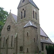
St Ninian's Church, Wooler
4.6 km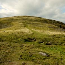
Prehistoric enclosed settlement, Iron Age hillfort and medieval shielings on Humbleton Hill
5.5 km
Church of St Mary
4.7 km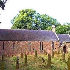
Church of St Mary and St Michael, Doddington
566 m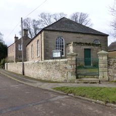
Primitive Methodist Chapel
6.5 km
Maelmin Henge
6 km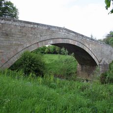
Fowberry Bridge
5.2 km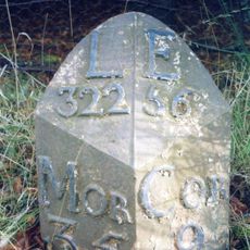
Milepost Circa 200 Yards North Of Ewart Park West Lodge
5.3 km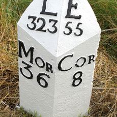
Milepost Circa 3/4 Mile South Of Millfield
5.8 km
Wooler War Memorial
4.6 km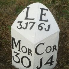
Milepost Circa 1/4 Mile North Of Haugh Head
6 km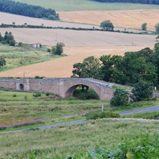
Weetwood Bridge
3.8 km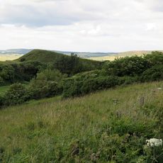
Green Castle
5.1 km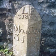
Milepost By Millvale
4.6 km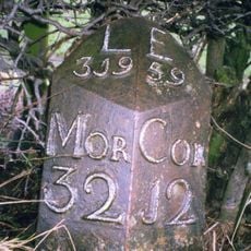
Milepost Circa Half A Mile East Of Humbleton Buildings
4.2 km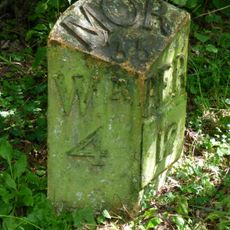
Milepost 1 1/2 Miles North Of Doddington Village
1.6 km
Weetwood Hall
3.5 km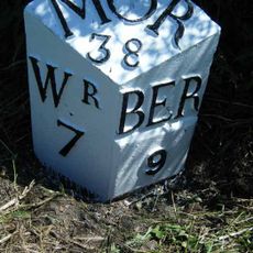
Milepost C 1/4 Mile South Of Moss Hall
6.2 km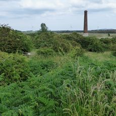
Ford Colliery 920m north east of Blackcrag Wood
6.1 km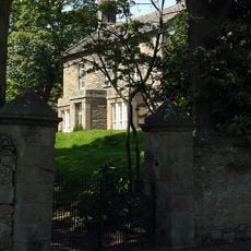
Doddington South Farm
200 m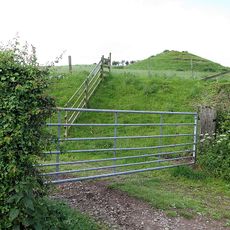
Medieval chapel, 220m south east of White Gables
4.8 km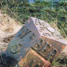
Milepost 50 Yards North Of Road To Doddington Northmoor
3.3 km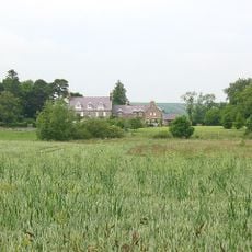
Hetton House
5.3 km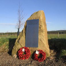
RAF Milfield WWII Memorial
5.9 km
Akeld Bastle And Attached Walling To South
5.3 km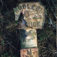
Milepost, Barmoor Red House
4.7 km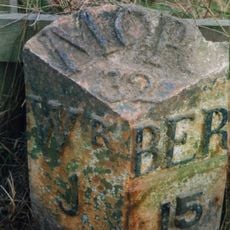
Milepost, Turvelaws Farm
3.1 kmReviews
Visited this place? Tap the stars to rate it and share your experience / photos with the community! Try now! You can cancel it anytime.
Discover hidden gems everywhere you go!
From secret cafés to breathtaking viewpoints, skip the crowded tourist spots and find places that match your style. Our app makes it easy with voice search, smart filtering, route optimization, and insider tips from travelers worldwide. Download now for the complete mobile experience.

A unique approach to discovering new places❞
— Le Figaro
All the places worth exploring❞
— France Info
A tailor-made excursion in just a few clicks❞
— 20 Minutes