
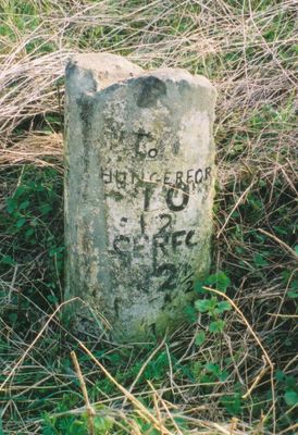
Milestone, Hungerford Road, between M4 bridge and turn for Liddington village
Milestone, Hungerford Road, between M4 bridge and turn for Liddington village, milestone in Liddington, Swindon, UK
Location: Swindon
Inception: 19 century
GPS coordinates: 51.52914,-1.69651
Latest update: March 21, 2025 12:29
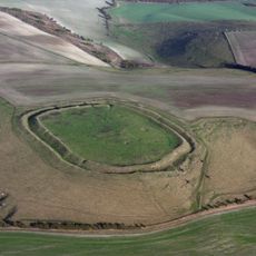
Liddington Castle
1.5 km
St Andrew's Church, Wanborough
1.4 km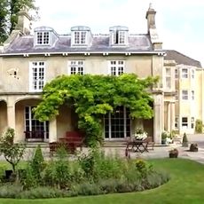
Chiseldon House Hotel
2.8 km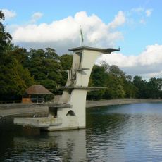
Coate Water Diving Platform
3.8 km
Church of All Saints
530 m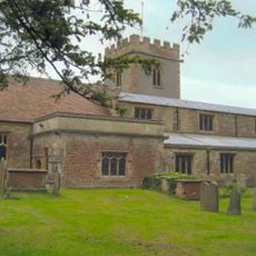
Church of the Holy Cross
2.7 km
Church of St Swithin
2.9 km
Richard Jefferies Museum
3.7 km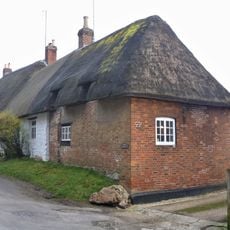
4, Church Street
2.8 km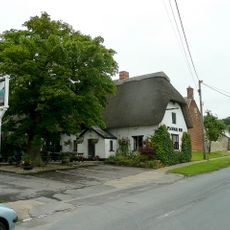
The Plough Inn
2.2 km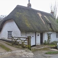
Blythe Cottage
2.8 km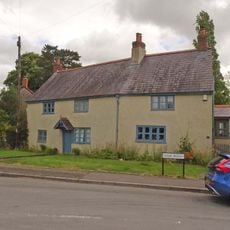
Knowle House
1.5 km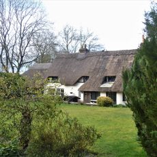
Canney Cottage
2.8 km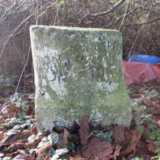
Milestone
3.2 km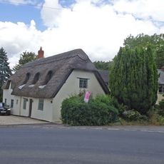
The Whitehouse
1.6 km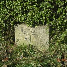
Milestone
2.3 km
Calley Arms
1.5 km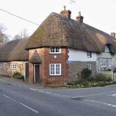
25 And 26, Turnball
3.1 km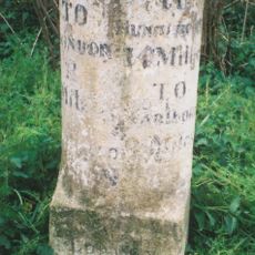
Milestone
3.1 km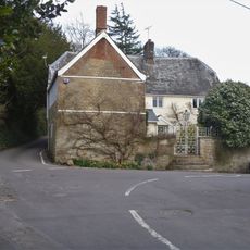
The Limes
2.7 km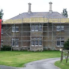
Day House
3.2 km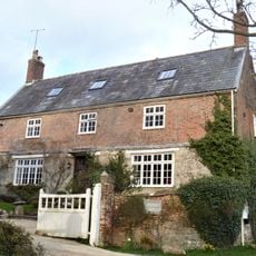
Parsonage Farmhouse
2.8 km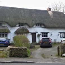
Corner Thatches
2.8 km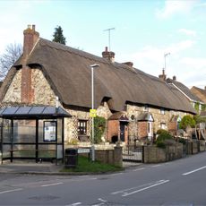
3-6, Station Road
2.7 km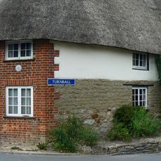
27, Turnball
3.1 km
3, Turnball
2.9 km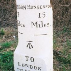
Milestone
1.5 km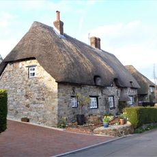
20 And 24, Turnball
3.1 kmReviews
Visited this place? Tap the stars to rate it and share your experience / photos with the community! Try now! You can cancel it anytime.
Discover hidden gems everywhere you go!
From secret cafés to breathtaking viewpoints, skip the crowded tourist spots and find places that match your style. Our app makes it easy with voice search, smart filtering, route optimization, and insider tips from travelers worldwide. Download now for the complete mobile experience.

A unique approach to discovering new places❞
— Le Figaro
All the places worth exploring❞
— France Info
A tailor-made excursion in just a few clicks❞
— 20 Minutes