
Milestone, Portway, milestone in Street, Mendip, UK
Location: Mendip
Inception: 19 century
GPS coordinates: 51.12189,-2.73151
Latest update: March 2, 2025 23:20


Admiral Hood Monument
2.4 km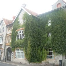
The Shoe Museum
964 m
Church of Our Lady St Mary of Glastonbury
2.7 km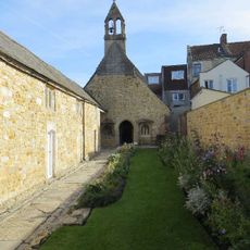
Hospital of St Mary Magdalene, Glastonbury
2.7 km
Church of the Holy Trinity, Street
1.1 km
Strode Theatre
973 m
Church of the Holy Trinity
2.8 km
Street Mission Church
749 m
United Reformed Church, Street
865 m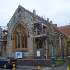
Street Methodist Church
677 m
Almshouses And Chapel Of St Mary Magdalene's Hospital
2.7 km
Abbots Sharpham Sharpham Park Farmhouse
2.6 km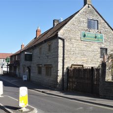
Mullions Hotel
875 m
25-29, Farm Road
1 km
Buildings of Central Somerset mural
750 m
Friends Meeting House
926 m
31-37, Farm Road
1 km
Nos 48 And 48A With Forecourt Wall
814 m
Old Pump House
2.8 km
Vineyards And Reeds
888 m
No 46 And Forecourt Wall
813 m
Gate Piers And Gates On Roadside At Driveway Entrance To Friends Meeting House
890 m
63-69, High Street
752 m
14 18 22 And 24, Somerton Road
844 m
Lawson Terrace
672 m
No 10 And Railed Forecourt
891 m
Hazeldene
829 m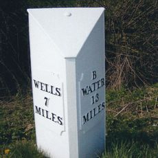
Milepost, Pomparles Bridge, near Street
1.7 kmReviews
Visited this place? Tap the stars to rate it and share your experience / photos with the community! Try now! You can cancel it anytime.
Discover hidden gems everywhere you go!
From secret cafés to breathtaking viewpoints, skip the crowded tourist spots and find places that match your style. Our app makes it easy with voice search, smart filtering, route optimization, and insider tips from travelers worldwide. Download now for the complete mobile experience.

A unique approach to discovering new places❞
— Le Figaro
All the places worth exploring❞
— France Info
A tailor-made excursion in just a few clicks❞
— 20 Minutes