
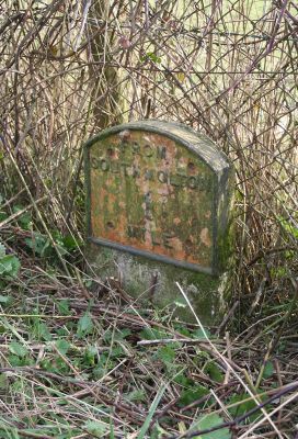
Milestone, 50m NE of Kingsland Cross; 6m E of jct to Ford Down, milestone in South Molton, North Devon, UK
Location: North Devon
Inception: 19 century
GPS coordinates: 51.01669,-3.85586
Latest update: March 30, 2025 11:08
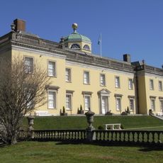
Castle Hill, Filleigh
3.9 km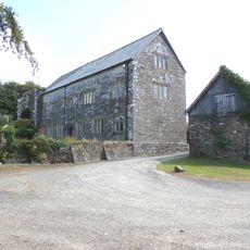
Bremridge
3.4 km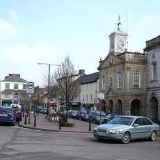
Guild Hall
1.5 km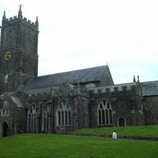
Church of St Mary Magdalene
1.5 km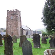
Church of St George
2.8 km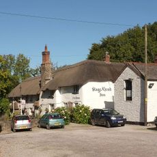
Stag's Head Inn
2.7 km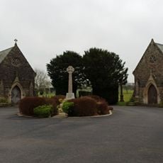
South Molton Cemetery Chapels
1.7 km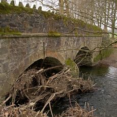
Shallowford Bridge
3.3 km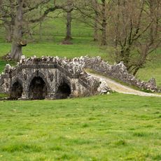
Deer Park Bridge
3.4 km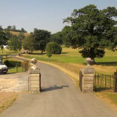
Gatepiers, Railings And Gates At Meadow Park Lodge
3.5 km
Stag's Head
3.1 km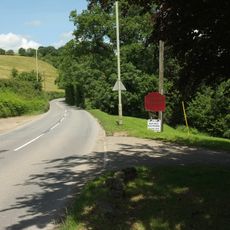
Smurridge
2.5 km
Meadow Park Lodge
3.6 km
Bradbury Barton
3 km
Halswell Farmhouse
3 km
Broomhouse Broomhouse Farmhouse
2.5 km
Burcombe Farmhouse And Former Granary Adjoining To North West
3.6 km
Vicarage
1.4 km
Collytown Farmhouse Including Attached Garden Wall At West End Incorporating Bee Boles
3.9 km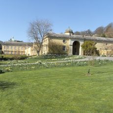
Stable Block Approximately 5 Metres North East Of Castle Hill House Including 2 Pairs Of Gatepiers Flanking Its Western End
3.8 km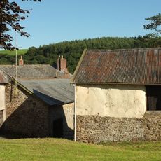
Range Of 2 Farmbuildings West Of Grilstone
3.3 km
1, 2, 3 And 4, The Row
2.7 km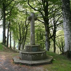
Cross Approximately 120 Metres North Of Castle Hill House
4 km
Public Market And Assembly Room
1.5 km
West Hill Farmhouse
1.6 km
Barn About 30 Metres North West Of Grilstone
3.3 km
South Newton Farmhouse Including Barn Attached At West End
4 km
68, South Street
1.4 kmReviews
Visited this place? Tap the stars to rate it and share your experience / photos with the community! Try now! You can cancel it anytime.
Discover hidden gems everywhere you go!
From secret cafés to breathtaking viewpoints, skip the crowded tourist spots and find places that match your style. Our app makes it easy with voice search, smart filtering, route optimization, and insider tips from travelers worldwide. Download now for the complete mobile experience.

A unique approach to discovering new places❞
— Le Figaro
All the places worth exploring❞
— France Info
A tailor-made excursion in just a few clicks❞
— 20 Minutes