
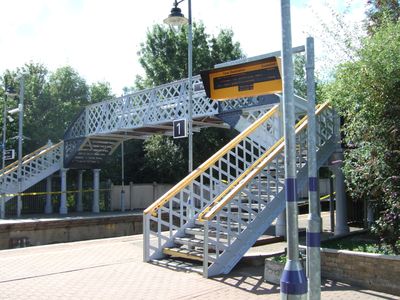
Footbridge at Sandwich railway station, railway footbridge in Sandwich, Dover, Kent, UK
Location: Sandwich
Part of: Sandwich railway station
GPS coordinates: 51.27000,1.34213
Latest update: March 4, 2025 10:21
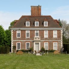
The Salutation, Sandwich
520 m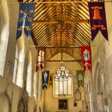
St Peter's Church, Sandwich
560 m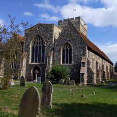
Church of St Clement, Sandwich
386 m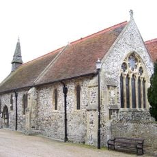
Chapel of St Bartholomew
222 m
19 And 19A, King Street
478 m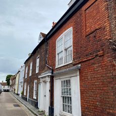
31, Fisher Street
434 m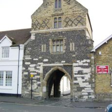
Fisher Gate
574 m
27 And 29, Fisher Street
442 m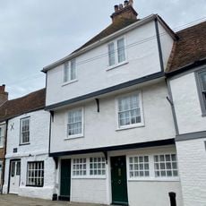
16 And 18, New Street
515 m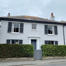
35, Moat Sole
561 m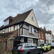
Ferryway
509 m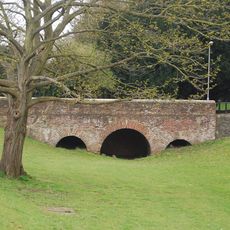
Bridge
479 m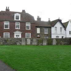
Curfew House
542 m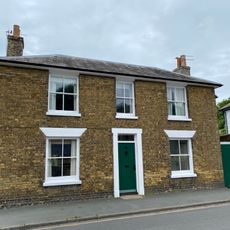
33, Moat Sole
573 m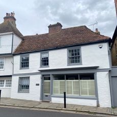
14, New Street
522 m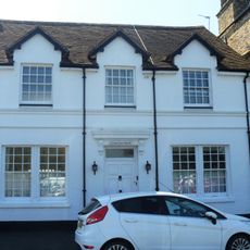
Fishergate House
570 m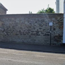
Section Of Town Wall Between Fishergate House And Bastion
569 m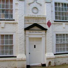
The Dutch House
371 m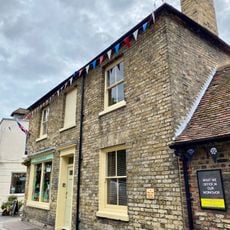
10, King Street
541 m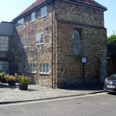
Bastion
562 m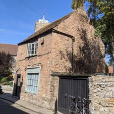
5, King Street
517 m
21, King Street
437 m
26, Upper Strand Street
511 m
20-24, Upper Strand Street
516 m
53, High Street
447 m
8 And 10, Upper Strand Street
554 m
23, Fisher Street
452 m
Spencer House
528 mReviews
Visited this place? Tap the stars to rate it and share your experience / photos with the community! Try now! You can cancel it anytime.
Discover hidden gems everywhere you go!
From secret cafés to breathtaking viewpoints, skip the crowded tourist spots and find places that match your style. Our app makes it easy with voice search, smart filtering, route optimization, and insider tips from travelers worldwide. Download now for the complete mobile experience.

A unique approach to discovering new places❞
— Le Figaro
All the places worth exploring❞
— France Info
A tailor-made excursion in just a few clicks❞
— 20 Minutes