
The Grange, building in Westborough and Dry Doddington, South Kesteven, Lincolnshire, UK
Location: Westborough and Dry Doddington
GPS coordinates: 52.99123,-0.72987
Latest update: March 6, 2025 22:41

JandJ Alpacas
3.6 km
Church of All Saints
402 m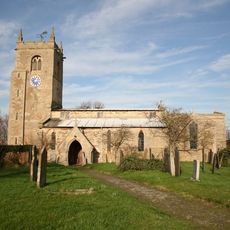
Church of St. Peter
1.6 km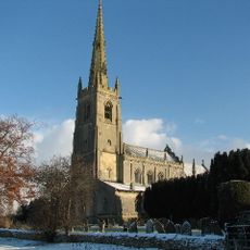
Church of St. Peter
4.6 km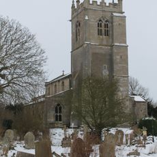
Church of St Swithin
1.2 km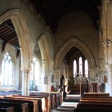
Church of St. Mary
4 km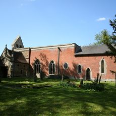
Church of the Holy Trinity
4.3 km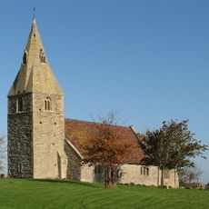
Church of St James
2.1 km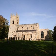
Church of All Saints
3.3 km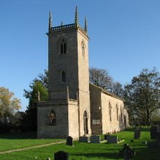
Church of St. Martin
4.8 km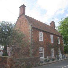
Holly Farmhouse
3.9 km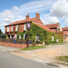
The Staunton Arms Public House
4.8 km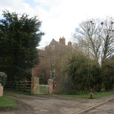
The Old Rectory
293 m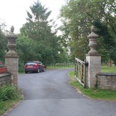
Gate piers and urns at main entrance to Staunton Hall
4.9 km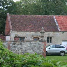
Garage at Staunton Hall
4.9 km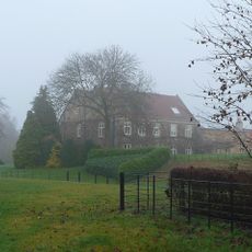
Hougham Manor House
3.5 km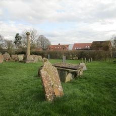
Churchyard cross, All Saints' churchyard
414 m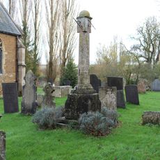
Churchyard cross, St Mary's churchyard
4 km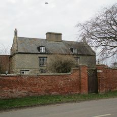
The Old Hall
1.7 km
Westborough village cross
281 m
Manor Farmhouse
4.1 km
Mill House
3.9 km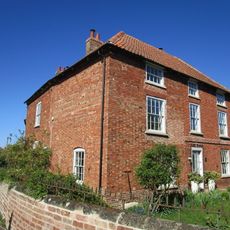
Fen Farmhouse
4.6 km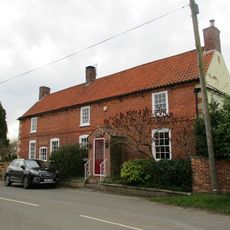
Renard
1.8 km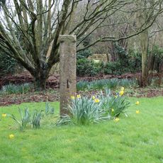
Churchyard cross, St Swithun's churchyard
1.2 km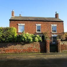
Toft House
4.1 km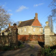
Marston Hall
4.1 km
The Nook
4.7 kmReviews
Visited this place? Tap the stars to rate it and share your experience / photos with the community! Try now! You can cancel it anytime.
Discover hidden gems everywhere you go!
From secret cafés to breathtaking viewpoints, skip the crowded tourist spots and find places that match your style. Our app makes it easy with voice search, smart filtering, route optimization, and insider tips from travelers worldwide. Download now for the complete mobile experience.

A unique approach to discovering new places❞
— Le Figaro
All the places worth exploring❞
— France Info
A tailor-made excursion in just a few clicks❞
— 20 Minutes