
1867 buildings at Crewe Railway Station, Grade II listed building in Crewe, Cheshire East, CW98
Location: Crewe
Part of: Crewe railway station
GPS coordinates: 53.08922,-2.43220
Latest update: March 4, 2025 09:32

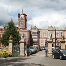
Crewe Hall
2.3 km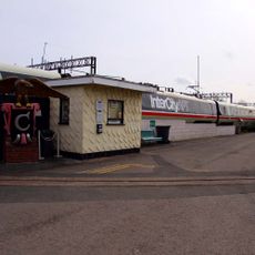
Crewe Heritage Centre
577 m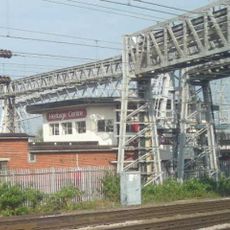
Crewe North Junction signal box
417 m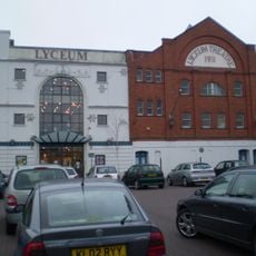
Lyceum Theatre
1.2 km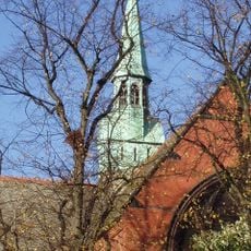
St Michael's Church, Coppenhall
2.1 km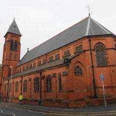
St Mary's Church, Crewe
1.4 km
St Barnabas' Church, Crewe
2.5 km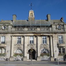
The Municipal Buildings
1.1 km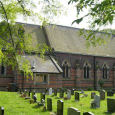
St Michael and All Angels Church, Crewe Green
1.7 km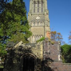
Christ Church Tower, Crewe
1 km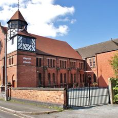
Union Street Baptist Church, Crewe
613 m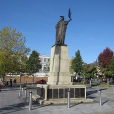
Crewe War Memorial
1.1 km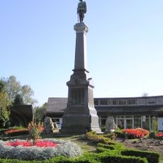
Boer War Memorial, Crewe
2.6 km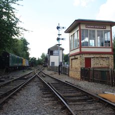
Crewe Heritage Centre
561 m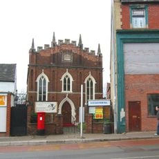
Christadelphian Hall
977 m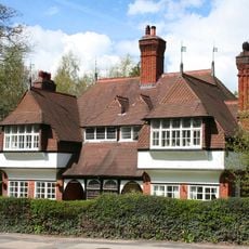
Stowford and Magnolia Cottages
2.5 km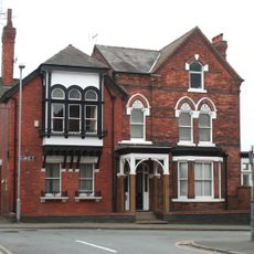
47, Delamere Street
1.3 km
76–90A, Victoria Street
1.4 km
1–19, Betley Street
1.1 km
Golden Gates Lodge and entrance screen
2.4 km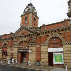
The Market Hall
1.2 km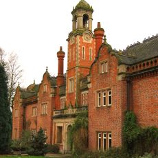
Former Stables at Crewe Hall
2.2 km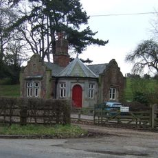
North Lodge to Crewe Hall Park
2.4 km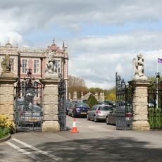
Gates, piers and wall at North end of Crewe Hall Drive
2.3 km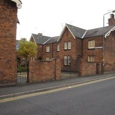
1–19, Dorfold Street
1.1 km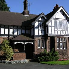
East Lodge at Queen's Park
2.6 km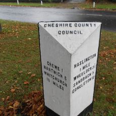
Milestone At Corner Of Narrow Lane
1.6 km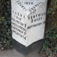
Milepost, Crewe Road; midway between Broughton Lane and Laidon Avenue jcts
2 kmReviews
Visited this place? Tap the stars to rate it and share your experience / photos with the community! Try now! You can cancel it anytime.
Discover hidden gems everywhere you go!
From secret cafés to breathtaking viewpoints, skip the crowded tourist spots and find places that match your style. Our app makes it easy with voice search, smart filtering, route optimization, and insider tips from travelers worldwide. Download now for the complete mobile experience.

A unique approach to discovering new places❞
— Le Figaro
All the places worth exploring❞
— France Info
A tailor-made excursion in just a few clicks❞
— 20 Minutes