
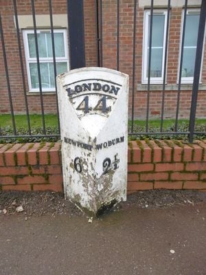
Milepost, Station Road; 100m SE of level crossing at Woburn Sands Railway Station
Milepost, Station Road; 100m SE of level crossing at Woburn Sands Railway Station, milepost in Woburn Sands, Milton Keynes, UK
Location: City of Milton Keynes
Inception: 19 century
GPS coordinates: 52.01757,-0.65211
Latest update: March 5, 2025 04:59

Milton Keynes Hoard
3.8 km
Church of Saint Mary
3.9 km
Church of All Saints
2.4 km
Church of St Mary
1.7 km
Town Hall
3.9 km
Church of St Mary the Virgin, Salford, Bedfordshire
3 km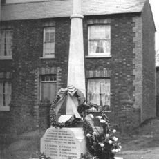
Bow Brickhill War Memorial
2.6 km
Church of St Nicholas, Hulcote, Bedfordshire
3.1 km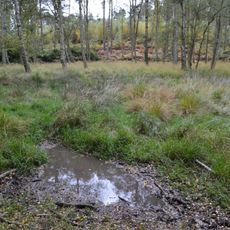
Wavendon Heath Ponds
2.5 km
Parish Church of St James
3 km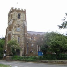
Church of St Botolph
1.7 km
Old Church of St Mary
3.8 km
Church of Saint Michael
1 km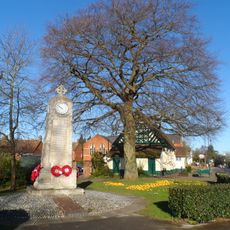
Woburn Sands and Aspley Heath War Memorial
747 m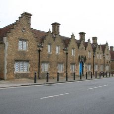
Staunton House
3.7 km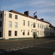
The Bedford Arms Hotel
4 km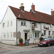
The Bell Public House
3.7 km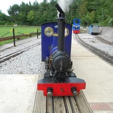
Caldecotte Miniature Railway
4 km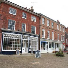
Atrium Antiques
3.9 km
Woburn Lower School
3.8 km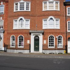
4-7, Market Place
3.9 km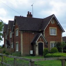
Numbers 1 To 3 And Detached Outhouses To Rear
3.3 km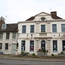
The Old Parsonage
3.9 km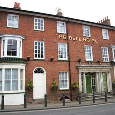
34 And 35, Bedford Street
3.7 km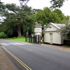
South Gatepier Of Pair Adjacent To Lion Lodge
4 km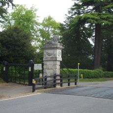
North Gatepier Of Pair Adjacent To Lion Lodge
4 km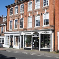
The Gifford Gallery Woburn Fine Arts
3.9 km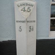
Milepost, Newport Road; by The Wavenden Arms (formally Leathern Bottle) PH
1.5 kmReviews
Visited this place? Tap the stars to rate it and share your experience / photos with the community! Try now! You can cancel it anytime.
Discover hidden gems everywhere you go!
From secret cafés to breathtaking viewpoints, skip the crowded tourist spots and find places that match your style. Our app makes it easy with voice search, smart filtering, route optimization, and insider tips from travelers worldwide. Download now for the complete mobile experience.

A unique approach to discovering new places❞
— Le Figaro
All the places worth exploring❞
— France Info
A tailor-made excursion in just a few clicks❞
— 20 Minutes