えりも町郷土資料館
Address: 北海道幌泉郡えりも町字新浜207
Website: https://town.erimo.lg.jp/horoizumi
GPS coordinates: 42.00939,143.15355
Latest update: November 10, 2025 00:36
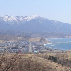
Mount Apoi
15.2 km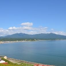
Mount Apoi Geopark
15.2 km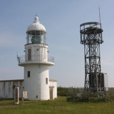
Erimomisaki Lighthouse
11.9 km
Tōjuin
23.5 km
Pinneshiri
17.4 km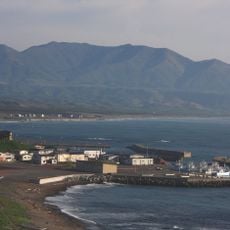
Mount Toyoni
10 km
Hyakunin Hama
8.5 km
日高変性帯の角閃岩
14.4 km
カンラン岩多彩な
13.7 km
冬島の穴岩 ホルンフェルス 黒雲母片岩
17.3 km
オフィオライトという地層になる
15.7 km
北米プレート
14.8 km
ユーラシアプレート
14.9 km
名もない滝
14.8 km
夫婦桜
12.1 km
黒雲母片麻岩の岩
14.2 km
幌満コミュニティセンター トイレ
12.3 km
カンラン岩
13.8 km
トンネル 日高変性帯との境界
15.1 km
アポイ岳ジオパーク
17.8 km
ぬくもり
22.6 km
襟裳岬突端
12.2 km
エンルム岬 展望台
23.1 km
Scenic viewpoint
10 km
望洋台
14 km
震嘯罹災記念
12 km
震嘯罹災記念
11 km
日高山脈襟裳国定公園 黄金道路
14 kmReviews
Visited this place? Tap the stars to rate it and share your experience / photos with the community! Try now! You can cancel it anytime.
Discover hidden gems everywhere you go!
From secret cafés to breathtaking viewpoints, skip the crowded tourist spots and find places that match your style. Our app makes it easy with voice search, smart filtering, route optimization, and insider tips from travelers worldwide. Download now for the complete mobile experience.

A unique approach to discovering new places❞
— Le Figaro
All the places worth exploring❞
— France Info
A tailor-made excursion in just a few clicks❞
— 20 Minutes