
Collette de Gilly
Location: Abriès
Location: Abriès-Ristolas
Accessibility: Wheelchair inaccessible
GPS coordinates: 44.79623,6.95974
Latest update: October 24, 2025 17:39
Queyras Regional Natural Park
12.1 km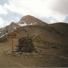
Le Pain de Sucre
12.1 km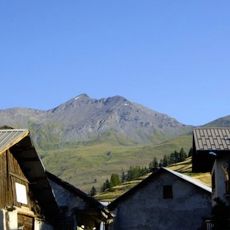
Punta Ramiere
7.9 km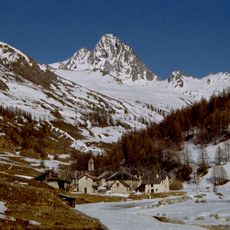
Bric Bucie
5.8 km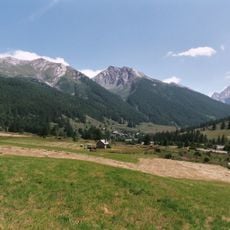
Réserve naturelle nationale de Ristolas - Mont-Viso
11.6 km
Pic de Château Renard
11.7 km
Tête de Pelvas
3.2 km
Punta Cornour
12.1 km
Monte Barifreddo
11.6 km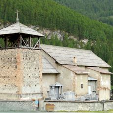
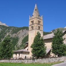
Église Saint-Romain de Molines-en-Queyras
12 km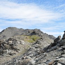
Grand Glaiza
8.6 km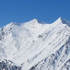
Grand Queyron
6.1 km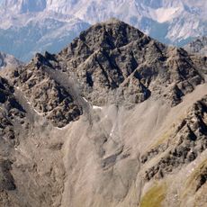
Pic de Petit Rochebrune
9.5 km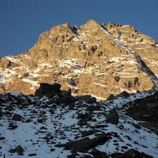
Monte Manzol
11 km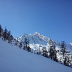
Gran Guglia
6.7 km
Cima del Pelvo
10.8 km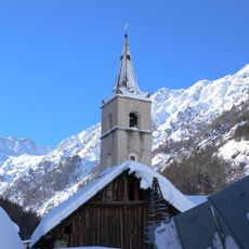
Église Saint-Marcellin de Ristolas
2.5 km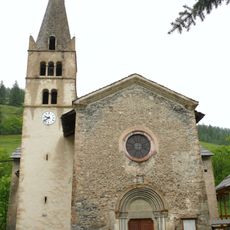
Église Saint-Pierre-Saint-Paul-et-Saint-Antoine d'Abriès
2.5 km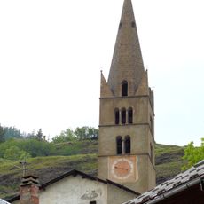
Église Saint-Jean-Baptiste d'Aiguilles
7.4 km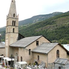
Église Saint-André de Ville-Vieille
11.6 km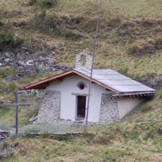
Chapelle Sainte-Marie-Madeleine de la Montette
4.8 km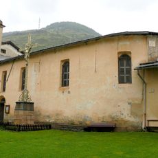
Chapelle des Pénitents d'Abriès
2.5 km
Montagne de Malrif
8 km
Pic Lombard
10.4 km
Pra - Barant
9.1 km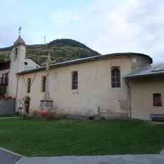
Ensemble paroissial d'Abriès
2.5 km
Valle della Ripa
11.2 km
Maison, la Rua
12 kmReviews
Visited this place? Tap the stars to rate it and share your experience / photos with the community! Try now! You can cancel it anytime.
Discover hidden gems everywhere you go!
From secret cafés to breathtaking viewpoints, skip the crowded tourist spots and find places that match your style. Our app makes it easy with voice search, smart filtering, route optimization, and insider tips from travelers worldwide. Download now for the complete mobile experience.

A unique approach to discovering new places❞
— Le Figaro
All the places worth exploring❞
— France Info
A tailor-made excursion in just a few clicks❞
— 20 Minutes