
Scenic viewpoint
Location: Bourg-Saint-Maurice
GPS coordinates: 45.57334,6.82766
Latest update: October 24, 2025 17:39
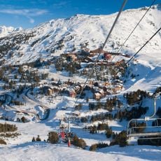
Les Arcs
1.6 km
Paradiski
6.1 km
Mont Pourri
5.6 km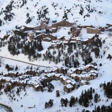
Arc 1950
94 m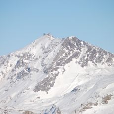
Aiguille Rouge
2.9 km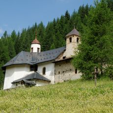
Notre-Dame des Vernettes
5.1 km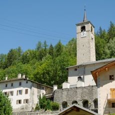
Église de la Trinité de Peisey-Nancroix
6.3 km
Mont Turia
5.2 km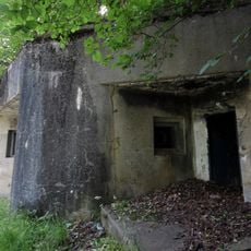
Ouvrage Cave-à-Canon
5.7 km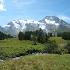
Réserve naturelle nationale des Hauts de Villaroger
2.9 km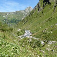
Torrent des Glaciers
6.2 km
Aiguille Grive
3.2 km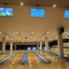
La Station
3.9 km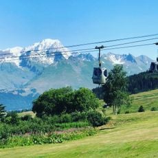
Golf des Arcs
3.6 km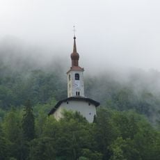
Église Saint Michel (Landry)
6.6 km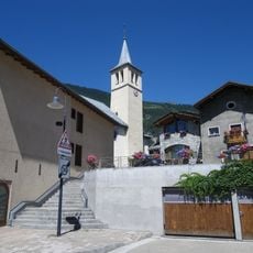
Église Saint-Pierre de Séez
6 km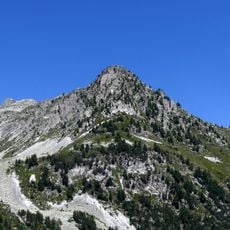
Pointe du Four
923 m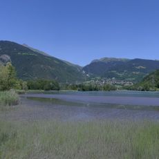
Bassin de compensation de Montrigon
6.1 km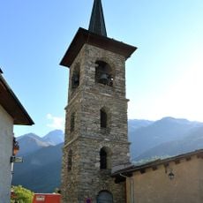
Église Sainte-Foy de Sainte-Foy-Tarentaise
4.7 km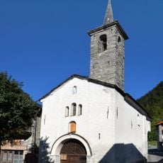
Chapelle Saint-Claude de Sainte-Foy-Tarentaise
5.6 km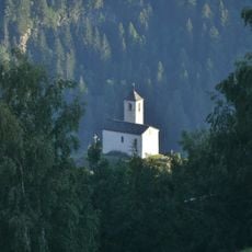
Église Saint-Michel du Châtelard
5.3 km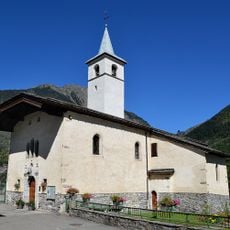
Église Notre-Dame de l’Assomption de Villaroger
4.2 km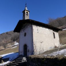
Chapelle Saint-Pantaléon du Grand-Gondon
6.2 km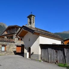
Chapelle Saint-Jean-Baptiste du Pré Derrière
3.7 km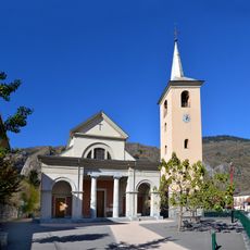
Église Saint-Maurice de Bourg-Saint-Maurice
6.8 km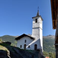
Chapelle Saint-Michel du Pré
3.8 km
Bowling
6.5 km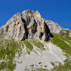
Aiguille Rousse
4.2 kmReviews
Visited this place? Tap the stars to rate it and share your experience / photos with the community! Try now! You can cancel it anytime.
Discover hidden gems everywhere you go!
From secret cafés to breathtaking viewpoints, skip the crowded tourist spots and find places that match your style. Our app makes it easy with voice search, smart filtering, route optimization, and insider tips from travelers worldwide. Download now for the complete mobile experience.

A unique approach to discovering new places❞
— Le Figaro
All the places worth exploring❞
— France Info
A tailor-made excursion in just a few clicks❞
— 20 Minutes