Water well
Location: Villefranche-le-Château
GPS coordinates: 44.22117,5.52238
Latest update: November 14, 2025 21:34
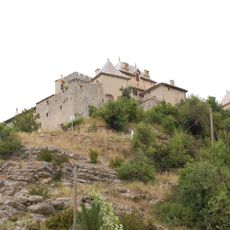
Château d'Aulan
7.5 km
Drinking fountain, water well
2.4 km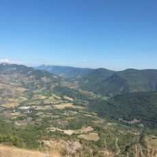
Cosmodrôme
2.2 km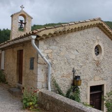
Église Saint-Jacques d'Aulan
7.5 km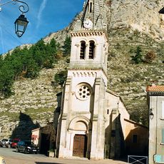
Église Sainte-Baudile de Séderon
2.1 km
Montagne de Bergiès
2.1 km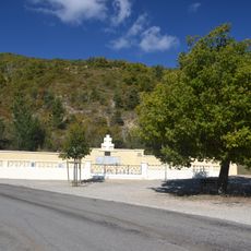
Nécropole nationale d'Eygalayes
8 km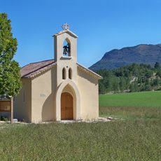
Chapelle Sainte-Bernadette de la Farette
2.9 km
Le Jambard
7.2 km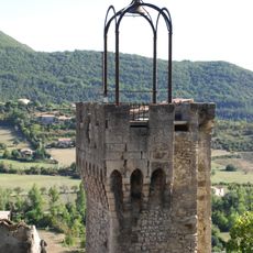
Beffroi de Montbrun-les-Bains
8 km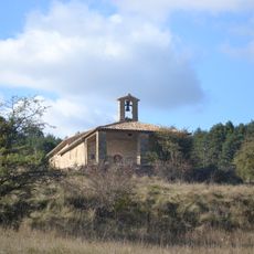
Chapelle St Damien & Saint Côme
1.9 km
Eygalayes observatory
5.7 km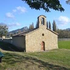
Chapelle Sainte Madeleine
87 m
Scenic viewpoint
6.2 km
Terrasse de L'O des Sources
8 km
Scenic viewpoint
6.1 km
Scenic viewpoint
6.2 km
Scenic viewpoint
6 km
Scenic viewpoint
2.1 km
Scenic viewpoint
6.2 km
Stèle
7.8 km
Croix des Jas
4.5 km
Ruine
2.9 km
Memorial, commemorative plaque
3.8 km
Monument des maquisards fusillés
6.7 km
Stele, memorial
4.3 km
Plaque commémorative de Jean Roger GAMONET
2.1 km
Waterfall
7.8 kmVisited this place? Tap the stars to rate it and share your experience / photos with the community! Try now! You can cancel it anytime.
Discover hidden gems everywhere you go!
From secret cafés to breathtaking viewpoints, skip the crowded tourist spots and find places that match your style. Our app makes it easy with voice search, smart filtering, route optimization, and insider tips from travelers worldwide. Download now for the complete mobile experience.

A unique approach to discovering new places❞
— Le Figaro
All the places worth exploring❞
— France Info
A tailor-made excursion in just a few clicks❞
— 20 Minutes