
Scenic viewpoint
Location: La Chapelle-en-Valgaudémar
GPS coordinates: 44.81581,6.19085
Latest update: October 24, 2025 17:38
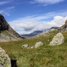
Écrins National Park
7.3 km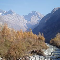
Valgaudemar
3.2 km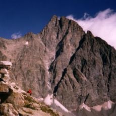
Olan
4.8 km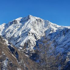
Vieux Chaillol
8.9 km
Sirac
9.6 km
Les Rouies
7.5 km
Pic Turbat
4.5 km
Aiguille des Arias
8.9 km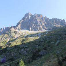
Pic des Souffles
6.9 km
Tête des Fétoules
10 km
Pic du Tourond
11.1 km
Réserve naturelle nationale de la haute vallée de la Séveraisse
5.2 km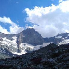
Summit of Vallon des Étages
9.8 km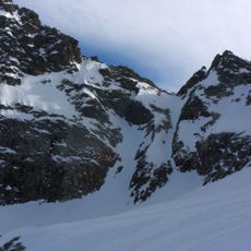
Crupillouse Glacier
5.9 km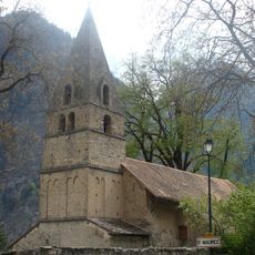
Église de Saint-Maurice-en-Valgodemard
7.6 km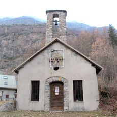
Chapelle Saint-François-d'Assise du Roux
6.2 km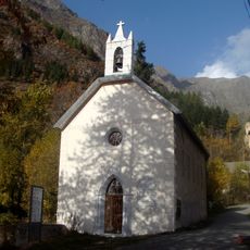
Chapelle de Molines-en-Champsaur
9.3 km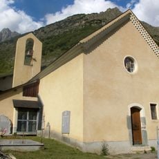
Église Sainte-Anne de Villar-Loubière
3.8 km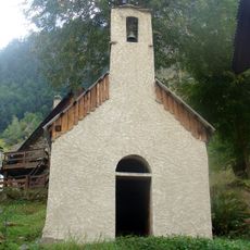
Chapelle du Bourg en Valgaudemar
3.5 km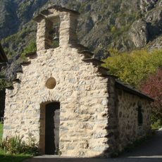
Chapelle Saint-Sébastien de la Loubière
4.9 km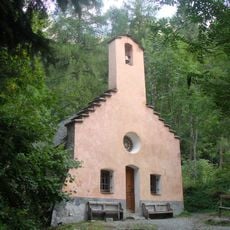
Chapelle Saint-Jean-Baptiste de Navette
2.4 km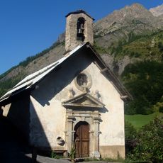
Chapelle Saint-Jean-Baptiste des Gondouins
10.8 km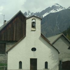
Chapelle Saint-Joseph des Andrieux
2 km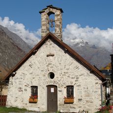
Chapelle de la Chaup en Valgaudemar
8.7 km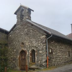
Chapelle du Séchier
10.6 km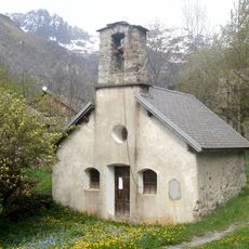
Chapelle Saint-Laurent de l'Ubac
6.6 km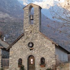
Chapelle Notre-Dame-des-Lumières de la Tour
6.3 km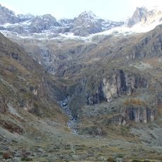
Cirque du Gioberney
8.7 kmReviews
Visited this place? Tap the stars to rate it and share your experience / photos with the community! Try now! You can cancel it anytime.
Discover hidden gems everywhere you go!
From secret cafés to breathtaking viewpoints, skip the crowded tourist spots and find places that match your style. Our app makes it easy with voice search, smart filtering, route optimization, and insider tips from travelers worldwide. Download now for the complete mobile experience.

A unique approach to discovering new places❞
— Le Figaro
All the places worth exploring❞
— France Info
A tailor-made excursion in just a few clicks❞
— 20 Minutes