
Rocher de l'ours
Location: La Perrière
Location: Courchevel
GPS coordinates: 45.41590,6.59064
Latest update: October 24, 2025 17:39
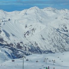
Les 3 Vallées
7.4 km
Méribel
2.6 km
Les Airelles
3.5 km
Dent de Burgin
3.2 km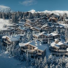
K2
3.8 km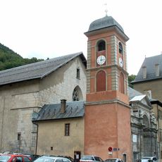
Moûtiers Cathedral
8.7 km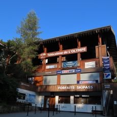
Télécabine de l'Olympe
4.3 km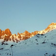
Sommet de la Saulire
4 km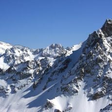
Aiguille du Fruit
7.6 km
Dent du Villard
6.7 km
Réserve naturelle nationale du Plan de Tuéda
8.1 km
Chapelle Notre-Dame-de-la-Vie de Saint-Martin-de-Belleville
8.1 km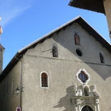
Église Saint-François-de-Sales de Bozel
5.3 km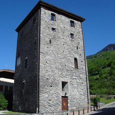
Tour de Bozel
5.4 km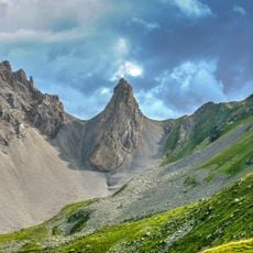
Pointe Émilienne
6.5 km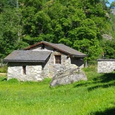
Moulin du Burdin
8.6 km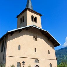
Église Saint-Bon de Saint-Bon-Tarentaise
4.2 km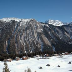
La Dent Du Villard
6.5 km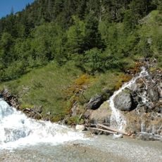
Cascade des Poux
6.9 km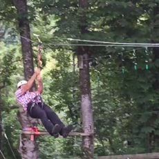
La Forêt des Aventuriers
8.2 km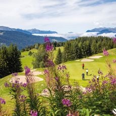
Golf de Méribel
1.2 km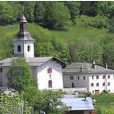
Église Saint-Maurice de Feissons-sur-Salins
6.4 km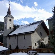
Église Saint-Martin des Allues
3.2 km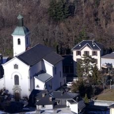
Église Saint-Étienne de Brides-les-Bains
4.5 km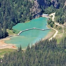
Lac de la Rosière
5.9 km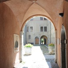
Évêché de Moûtiers
8.7 km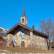
Chapelle Notre-Dame-des-Neiges du Musillon
2.6 km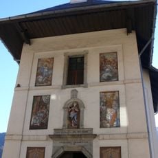
Chapelle Notre-Dame-de-Tout-Pouvoir de Bozel
5.3 kmReviews
Visited this place? Tap the stars to rate it and share your experience / photos with the community! Try now! You can cancel it anytime.
Discover hidden gems everywhere you go!
From secret cafés to breathtaking viewpoints, skip the crowded tourist spots and find places that match your style. Our app makes it easy with voice search, smart filtering, route optimization, and insider tips from travelers worldwide. Download now for the complete mobile experience.

A unique approach to discovering new places❞
— Le Figaro
All the places worth exploring❞
— France Info
A tailor-made excursion in just a few clicks❞
— 20 Minutes