Table d orientation
Location: Saint-Léger-de-Fougeret
GPS coordinates: 47.02084,3.89697
Latest update: October 24, 2025 17:20
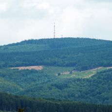
Haut-Folin
11 km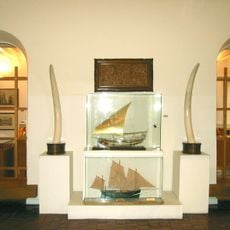
Musée du Président François Mitterrand
5.9 km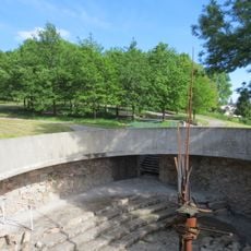
Espace François-Mitterrand
6.3 km
Mont Préneley
10.7 km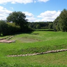
Théâtre gallo-romain des Bardiaux
9.4 km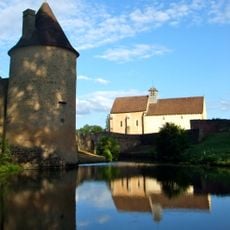
Château d'Anizy
13.2 km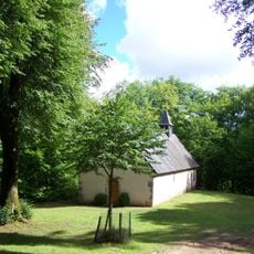
Chapelle de Faubouloin
12.7 km
Château de Besne
8.3 km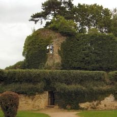
Château de Moulins-Engilbert
7.5 km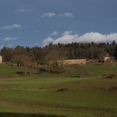
Château de Saulières
6.9 km
Château de Chandioux
7.6 km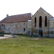
Abbaye Notre-Dame et Saint-Paul de Bellevaux
12.1 km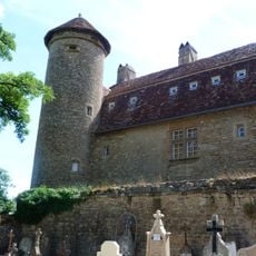
Prieuré de Commagny
9.6 km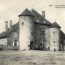
Château d'Arcilly
13.6 km
Éperon barré du Fou de Verdun
12.9 km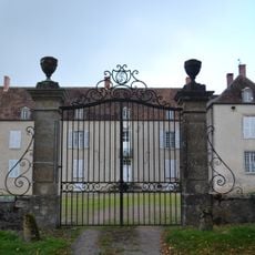
Château de Quincize
13.2 km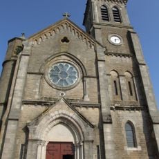
Église Saint-Romain de Château-Chinon
5.7 km
Chapelle Saint-Roch de Montbois
7.7 km
Château de Marry
10.3 km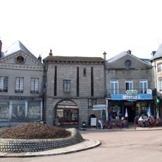
Porte Notre-Dame
5.5 km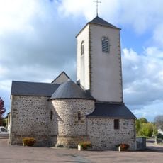
Église Saint-Martin de Blismes
13.7 km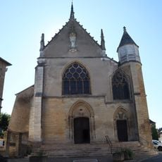
Église Saint-Jean-Baptiste de Moulins-Engilbert
7.5 km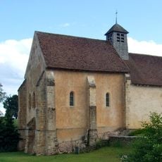
Église Saint-Martin d'Anizy
13.3 km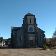
Église Saint-Pierre d'Arleuf
9.8 km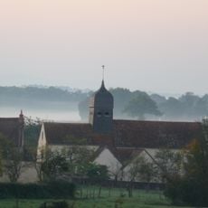
Église Saint-Martin de Chougny
12.8 km
Église Saint-Martin de Lavault-de-Frétoy
13 km
Église Saint-Pierre de Sermages
4 km
Église Saint-Denis de Glux-en-Glenne
12.5 kmReviews
Visited this place? Tap the stars to rate it and share your experience / photos with the community! Try now! You can cancel it anytime.
Discover hidden gems everywhere you go!
From secret cafés to breathtaking viewpoints, skip the crowded tourist spots and find places that match your style. Our app makes it easy with voice search, smart filtering, route optimization, and insider tips from travelers worldwide. Download now for the complete mobile experience.

A unique approach to discovering new places❞
— Le Figaro
All the places worth exploring❞
— France Info
A tailor-made excursion in just a few clicks❞
— 20 Minutes