
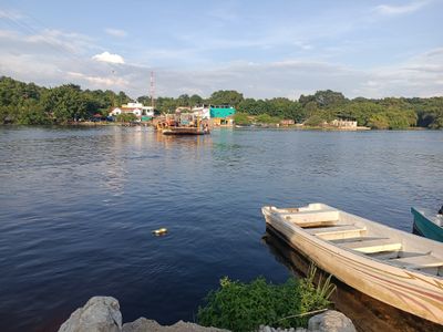
Ferri El Naranjo
Location: La Libertad, El Petén
Address: RD-PET-13, El Naranjo
GPS coordinates: 17.23581,-90.79949
Latest update: March 7, 2025 06:37
Lacandon Jungle
94.2 km
Bonampak
65.6 km
Yaxchilan
41.4 km
El Mirador
109.8 km
Pyramid of La Danta
111.2 km
Petén Basin
102.8 km
Dos Pilas
103.8 km
Piedras Negras
49.8 km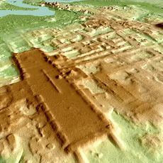
Aguada Fénix
73 km
La Corona
55.3 km
El Perú
104.2 km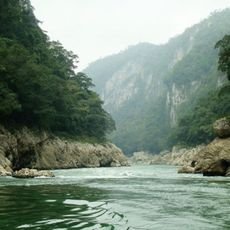
Cañón del Usumacinta
79.8 km
Pomoná
86.5 km
El Tintal (Guatemala)
93.6 km
Moral Reforma
79.5 km
Tayasal
102 km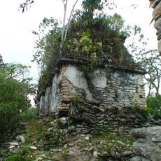
Plan de Ayutla
71.7 km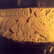
La Amelia
88.6 km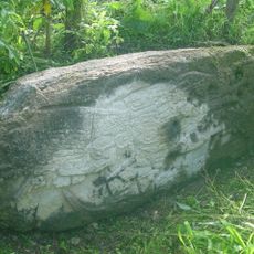
Zapote Bobal
53.7 km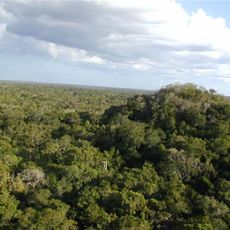
Pirámide El Tigre
109.8 km
Actún Can
103.1 km
Nahá-Metzabok Biosphere Reserve
86 km
Zona arqueológica de Yaxchilan
41.5 km
Temple Lord of Tila
95.2 km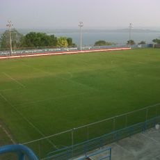
Estadio Julián Tesucún
99.4 km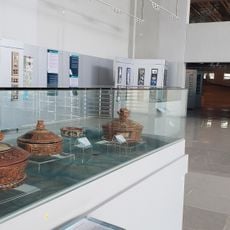
Museo Regional Del Mundo Maya
102.8 km
Aguateca Cultural Monument
112.1 kmReviews
Visited this place? Tap the stars to rate it and share your experience / photos with the community! Try now! You can cancel it anytime.
Discover hidden gems everywhere you go!
From secret cafés to breathtaking viewpoints, skip the crowded tourist spots and find places that match your style. Our app makes it easy with voice search, smart filtering, route optimization, and insider tips from travelers worldwide. Download now for the complete mobile experience.

A unique approach to discovering new places❞
— Le Figaro
All the places worth exploring❞
— France Info
A tailor-made excursion in just a few clicks❞
— 20 Minutes