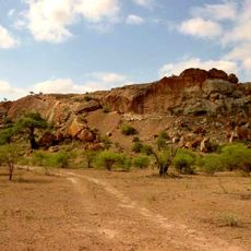
Musina golf club
Location: Musina Local Municipality
GPS coordinates: -22.34257,30.05019
Latest update: November 21, 2025 17:05
Paisaje cultural de Mapungubwe
63.6 km
Dzata ruins
59.2 km
Nzhelele Dam
42.8 km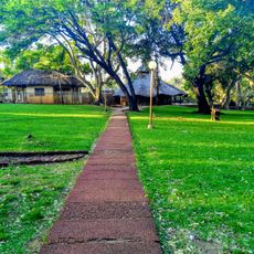
Nwanedi Provincial Park
48.4 km
Luphephe Dam
49 km
Mapungubwe
69.8 km
Mutshedzi Dam
68.4 km
Nwanedi Dam
49.8 km
Nzhelele Reservoir
44.2 km
Mapaliome
56.7 km
Totolo
65.4 km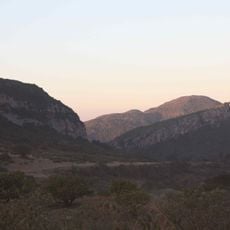
Morning Sun Nature Reserve
68.1 km
Musina Nature Reserve
6 km
Sagole Baobab
62.5 km
Beacon Hill
70.7 km
Pinnacle Lookout Deck
71.6 km
Sunrise Deck
71.7 km
Main Deck
71.8 km
Scenic viewpoint
68.8 km
View point
66.3 km
Day Visitor Site
71.6 km
Scenic viewpoint
70.7 km
Nottingham Estate Flycamp
51 km
Scenic viewpoint
52.9 km
Scenic viewpoint
50 km
Hendrik Verwoerd
65 km
Waterfall
69 km
Tshirovha Waterfall
69.3 kmVisited this place? Tap the stars to rate it and share your experience / photos with the community! Try now! You can cancel it anytime.
Discover hidden gems everywhere you go!
From secret cafés to breathtaking viewpoints, skip the crowded tourist spots and find places that match your style. Our app makes it easy with voice search, smart filtering, route optimization, and insider tips from travelers worldwide. Download now for the complete mobile experience.

A unique approach to discovering new places❞
— Le Figaro
All the places worth exploring❞
— France Info
A tailor-made excursion in just a few clicks❞
— 20 Minutes