松ヶ丘ゴルフクラブ
Location: 長野市
Operator: 地興
GPS coordinates: 36.62728,138.13322
Latest update: November 11, 2025 07:07
Chausuyama Dinasour Park
4.4 km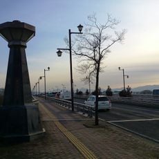
丹波島橋
4.4 km
Shōgaku-in
3.2 km
Mujō-in
579 m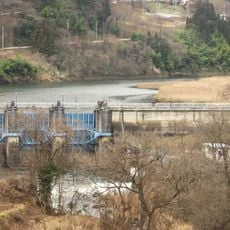
Yunose Dam
4.1 km
日時計
3.3 km
Memorial
4.6 km
茶臼山マレットゴルフ場
4.3 km
Chausuyama Dinosaur Park
4.4 km
犀南市民プール
4.6 km
慈光観音
2.3 km
愛の母子像
2.5 km
金毘羅大神
2.6 km
諏訪大神
2.7 km
Kidome Shrine
4.6 km
湯ノ瀬ダム
4.1 km
72犀北ゴルフセンター
2 km
Memorial
4.6 km
Memorial
4.6 km
Memorial
4.6 km
窪寺城跡
3.2 km
馬頭観音
1.8 km
赤地蔵
2.9 km
真當沖古墳群
1.1 km
赤地蔵
3.3 km
Wayside shrine
4.2 km
國役大明神
2.5 km
小市大本営海軍部壕
1.2 kmReviews
Visited this place? Tap the stars to rate it and share your experience / photos with the community! Try now! You can cancel it anytime.
Discover hidden gems everywhere you go!
From secret cafés to breathtaking viewpoints, skip the crowded tourist spots and find places that match your style. Our app makes it easy with voice search, smart filtering, route optimization, and insider tips from travelers worldwide. Download now for the complete mobile experience.

A unique approach to discovering new places❞
— Le Figaro
All the places worth exploring❞
— France Info
A tailor-made excursion in just a few clicks❞
— 20 Minutes