Nyabing Golf Club
Location: Nyabing
Location: Shire of Kent
GPS coordinates: -33.54589,118.09847
Latest update: November 28, 2025 23:53
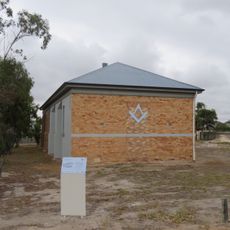
Gnowangerup Agricultural Hall
44.5 km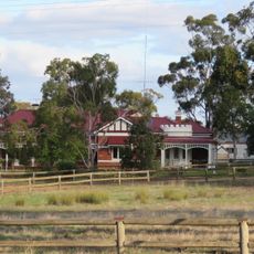
Telyarup Homestead
40.7 km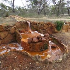
Aylmore Mineral Springs
43.3 km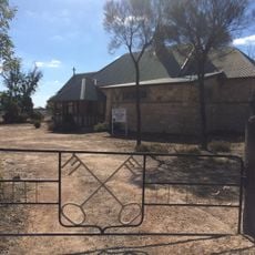
St Peter's Church, Badgebup
21.2 km
Gunther Park
44.4 km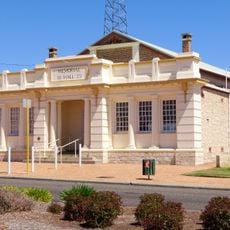
Gnowangerup Memorial Shire Hall
44.3 km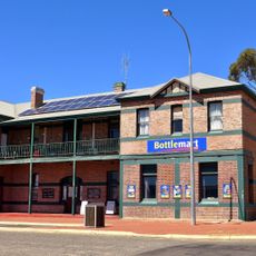
Gnowangerup Hotel
44.3 km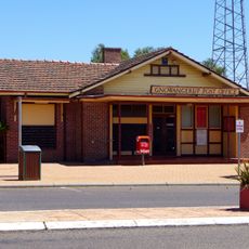
Gnowangerup Post Office
44.4 km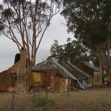
Martinup
44.2 km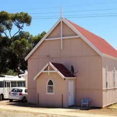
Gnowangerup Uniting Church
44.3 km
Pingrup Hall, Sanderson Street
38.2 km
Gnowangerup shire offices
44.3 km
(Salt Lake)
40.5 km
Donald Campbell's Bluebird
42.1 km
Gnowangerup Golf Course
42.9 km
Big Shearing Handpiece
38.3 km
Settlers Hall
4.8 km
Agricultural Display
42 km
Agricultural Display
42.1 km
Dumbleyung Golf Club
37.8 km
Pingrup Silos
37.7 km
Scenic viewpoint
40.5 km
War Memorial
39.7 km
Memorial
44.4 km
Memorial, war memorial
38.4 km
Monument
4.6 km
Boongadoo School Site
9.2 km
Dataline School
21.2 kmReviews
Visited this place? Tap the stars to rate it and share your experience / photos with the community! Try now! You can cancel it anytime.
Discover hidden gems everywhere you go!
From secret cafés to breathtaking viewpoints, skip the crowded tourist spots and find places that match your style. Our app makes it easy with voice search, smart filtering, route optimization, and insider tips from travelers worldwide. Download now for the complete mobile experience.

A unique approach to discovering new places❞
— Le Figaro
All the places worth exploring❞
— France Info
A tailor-made excursion in just a few clicks❞
— 20 Minutes